Upper Whitewater Falls, Pisgah National Forest
Map

Map

Facts and practical information
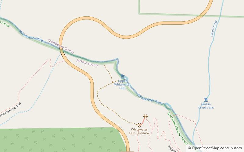
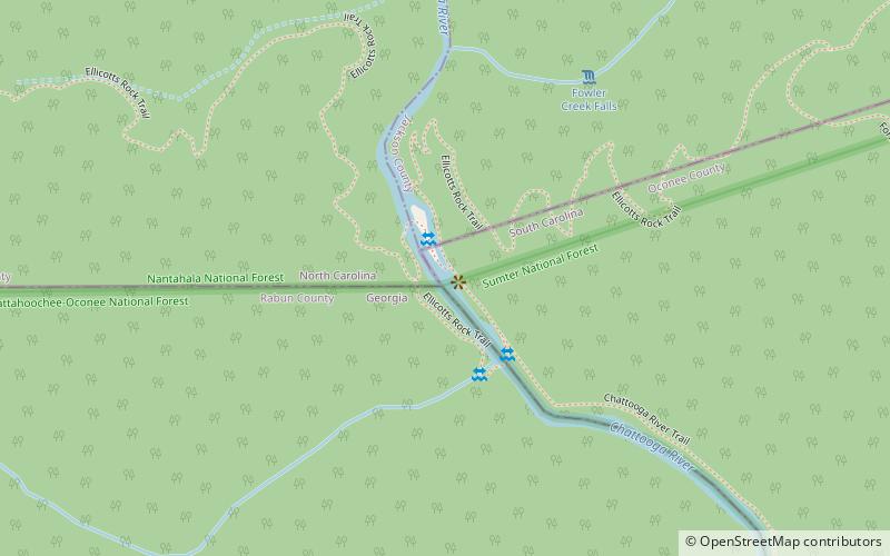
Upper Whitewater Falls is a waterfall in North Carolina on the Whitewater River. As with most of North Carolina's waterfalls, it is in the mountainous area of the state. There is a cluster of falls in the area where the borders of Georgia and the Carolinas come together. Whitewater Falls is part of that group, very close to the South Carolina border. ()
Height: 411 ftCoordinates: 35°2'10"N, 83°1'4"W
Address
Pisgah National Forest
ContactAdd
Social media
Add
Day trips
Upper Whitewater Falls – popular in the area (distance from the attraction)
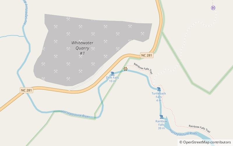
Nearby attractions include: Rainbow Falls, Turtleback Falls, Kings Creek Falls, Foothills Trail.


