Foothills Trail, Sumter National Forest
Map

Gallery

Facts and practical information
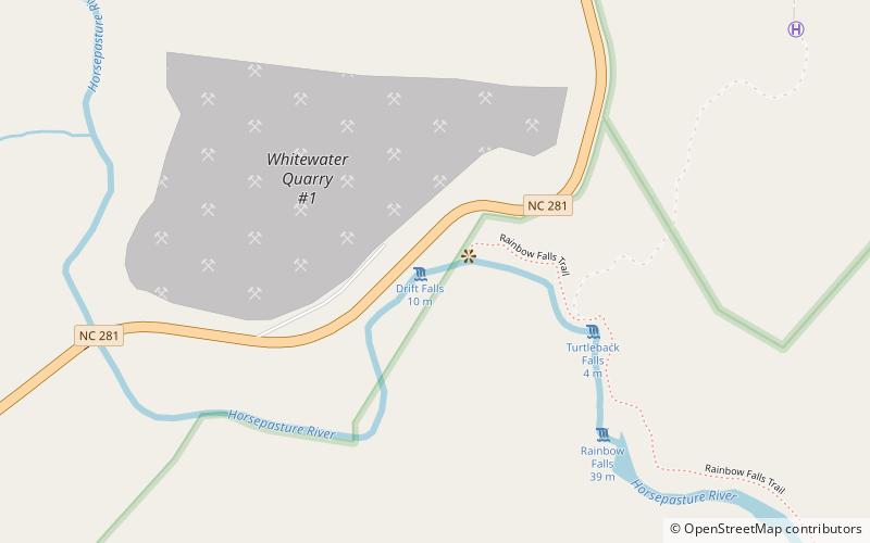
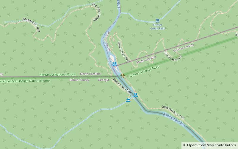
The Foothills Trail is a 76-mile National Recreation Trail in South and North Carolina, United States, for recreational hiking and backpacking. It extends from Table Rock State Park to Oconee State Park. It passes through the Andrew Pickens Ranger District of the Sumter National Forest, Ellicott Rock Wilderness, Whitewater Falls, and Lake Jocassee. ()
Length: 76.2 miCoordinates: 35°0'46"N, 83°2'57"W
Address
Sumter National Forest
ContactAdd
Social media
Add
Day trips
Foothills Trail – popular in the area (distance from the attraction)
Nearby attractions include: Upper Whitewater Falls, Rainbow Falls, Turtleback Falls, Whiteside Mountain.


