Kings Creek Falls, Sumter National Forest
Map

Map

Facts and practical information
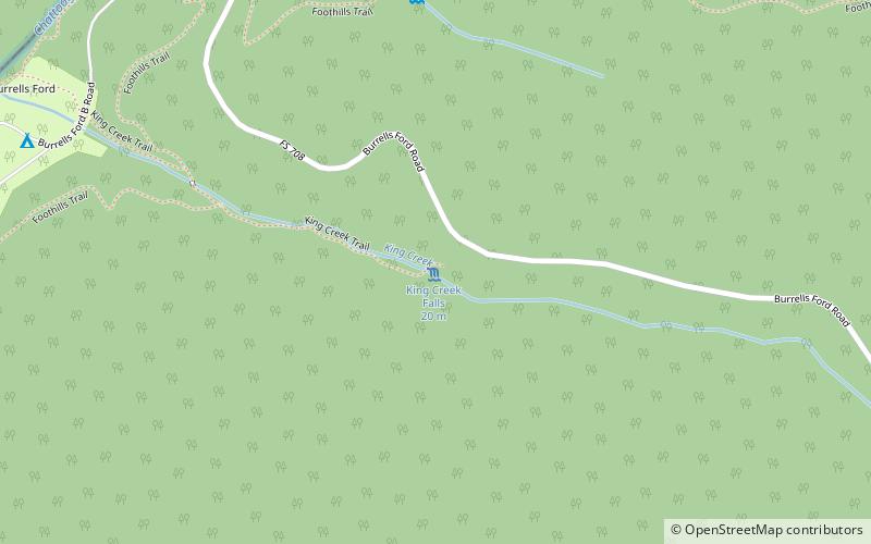
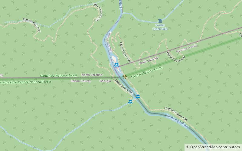
Kings Creek Falls, located near Long Creek, South Carolina, is a waterfall in the Oconee District of the Sumter National Forest. Kings Creek is a tributary of the Chatooga River, and the falls are located off a short spur from the Foothills Trail. It is located in the extreme Northwest of the state, near the Ellicott Rock Wilderness Area and the Georgia state line. ()
Height: 65 ftCoordinates: 34°57'59"N, 83°6'40"W
Address
Sumter National Forest
ContactAdd
Social media
Add
Day trips
Kings Creek Falls – popular in the area (distance from the attraction)
Nearby attractions include: Upper Whitewater Falls, Foothills Trail, Glade Mountain, Satulah Mountain Historic District.


