Smith Rock Shelter, Austin
Map

Gallery

Facts and practical information
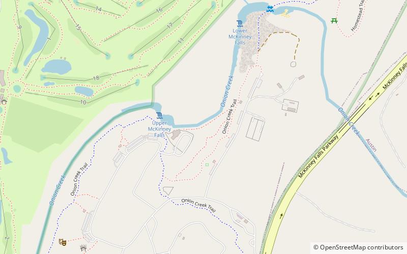
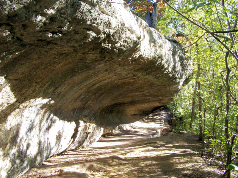
The Smith Rock Shelter is a natural limestone overhang in McKinney Falls State Park near Austin, Texas. The shelter is believed to have been used by Native Americans from 500 BCE until the 18th century. The last known occupants were related to the Tonkawa. It is accessible via the 0.8 mile round-trip Smith Rockshelter Trail in the park. ()
Coordinates: 30°11'3"N, 97°43'26"W
Address
Southeast AustinAustin
ContactAdd
Social media
Add
Day trips
Smith Rock Shelter – popular in the area (distance from the attraction)
Nearby attractions include: McKinney Homestead, Lady Bird Lake, San Jose Cemetery, Montopolis Bridge.
Frequently Asked Questions (FAQ)
Which popular attractions are close to Smith Rock Shelter?
Nearby attractions include McKinney Falls State Park, Austin (7 min walk), McKinney Homestead, Austin (8 min walk).


