McKinney Falls State Park, Austin
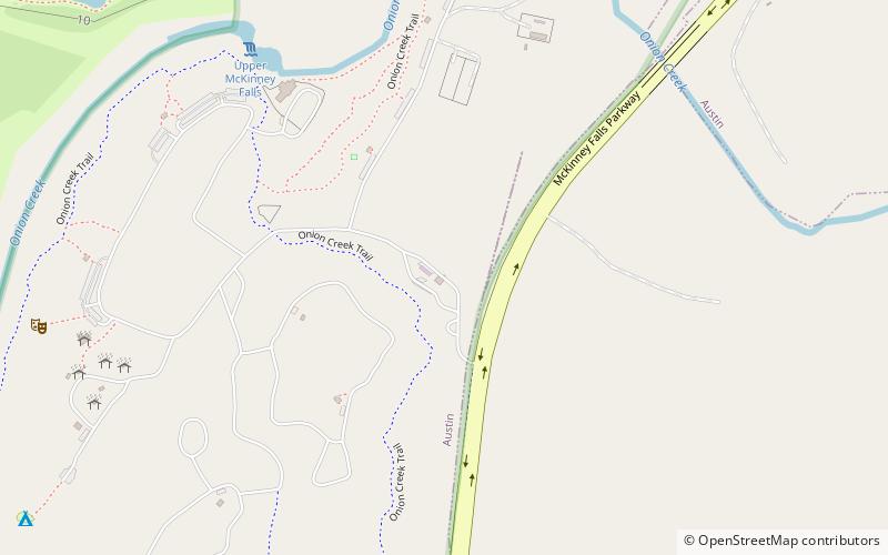
Map

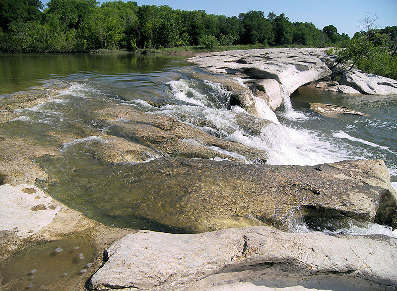
Gallery

Facts and practical information
McKinney Falls State Park is a state park in Austin, Texas, United States at the confluence of Onion Creek and Williamson Creek. It is administered by the Texas Parks and Wildlife Department. The park opened on April 15, 1976 and is named after Thomas F. McKinney, a businessman, race horse breeder and rancher, who owned and lived on the land in the mid-to-late 19th century. The park is part of the El Camino Real de los Tejas National Historic Trail. ()
Established: 1976 (50 years ago)Coordinates: 30°10'51"N, 97°43'19"W
Address
Southeast AustinAustin
Contact
+1 512 243 1643
Social media
Add
Day trips
McKinney Falls State Park – popular in the area (distance from the attraction)
Nearby attractions include: McKinney Homestead, Lady Bird Lake, San Jose Cemetery, Montopolis Bridge.
Frequently Asked Questions (FAQ)
Which popular attractions are close to McKinney Falls State Park?
Nearby attractions include Smith Rock Shelter, Austin (7 min walk), McKinney Homestead, Austin (13 min walk).


