Huntingdon, Roanoke

Gallery (2)
Map
Map
Gallery
Facts and practical information
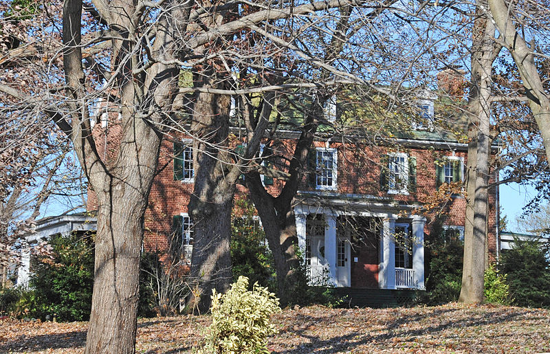
Huntingdon is a historic plantation house located at Roanoke, Virginia. It was built about 1819, and is a 2 1/2-story, five bay, Federal style brick dwelling. It has a central-passage-plan and an integral two-story rear ell. The front and side elevations feature mid-19th century Greek Revival style porches. The house was restored and improved in 1988–1989. Also on the property is a contributing family cemetery and an outbuilding believed to have been a slave house. ()
Coordinates: 37°18'29"N, 79°56'21"W
Address
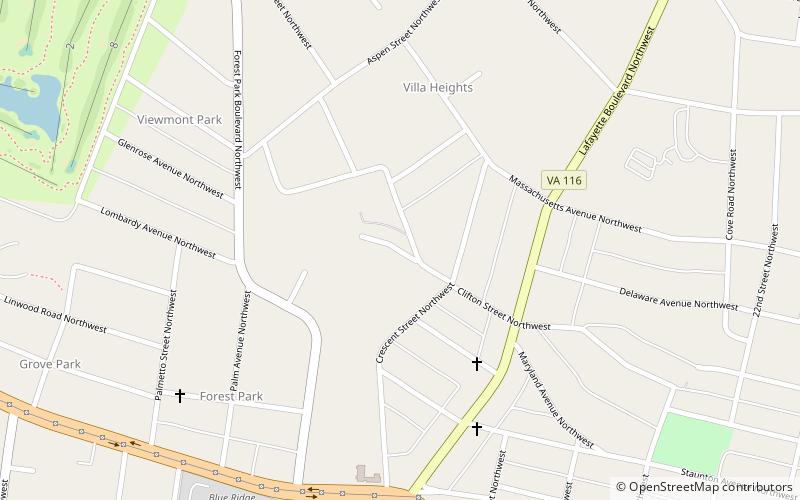
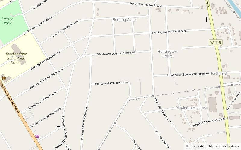
Williamson Road Area (Preston Park)Roanoke
ContactAdd
Social media
Add
Day trips