Muscota Marsh, New York City
Map

Gallery
Facts and practical information
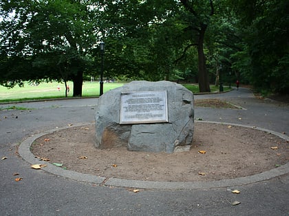
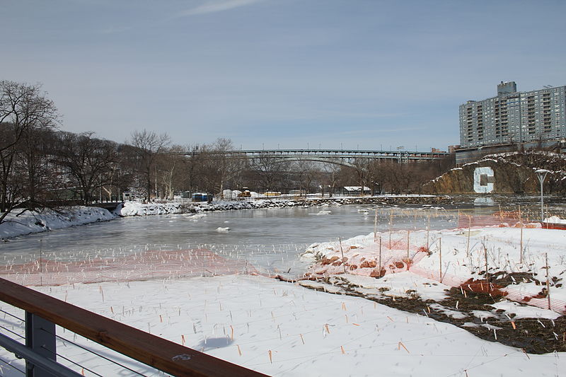
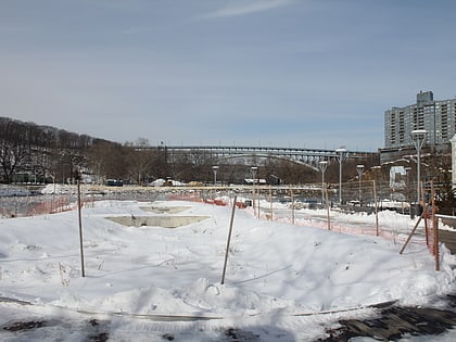
Muscota Marsh is a one-acre public park in the Inwood section of the borough of Manhattan in New York City, on the shore of Spuyten Duyvil Creek, a section of the Harlem River. It is adjacent to the much larger Inwood Hill Park and Columbia University's Baker Athletics Complex. The park is notable for its views and for its ecological conservation features. ()
Elevation: 7 ft a.s.l.Coordinates: 40°52'24"N, 73°55'6"W
Day trips
Muscota Marsh – popular in the area (distance from the attraction)
Nearby attractions include: The Cloisters, Fort Tryon Park, Dyckman Farmhouse Museum, Dyckman Street.
Frequently Asked Questions (FAQ)
Which popular attractions are close to Muscota Marsh?
Nearby attractions include Seaman-Drake Arch, New York City (7 min walk), Isham Park, New York City (7 min walk), Henry Hudson Bridge, New York City (10 min walk), Broadway Bridge, New York City (10 min walk).
How to get to Muscota Marsh by public transport?
The nearest stations to Muscota Marsh:
Metro
Train
Metro
- 215th Street • Lines: 1 (9 min walk)
- 207th Street–Inwood • Lines: A (9 min walk)
Train
- Marble Hill (9 min walk)
- Spuyten Duyvil (12 min walk)
 Subway
 Manhattan Buses

