Spuyten Duyvil Bridge, New York City
Map

Gallery
Facts and practical information
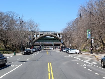
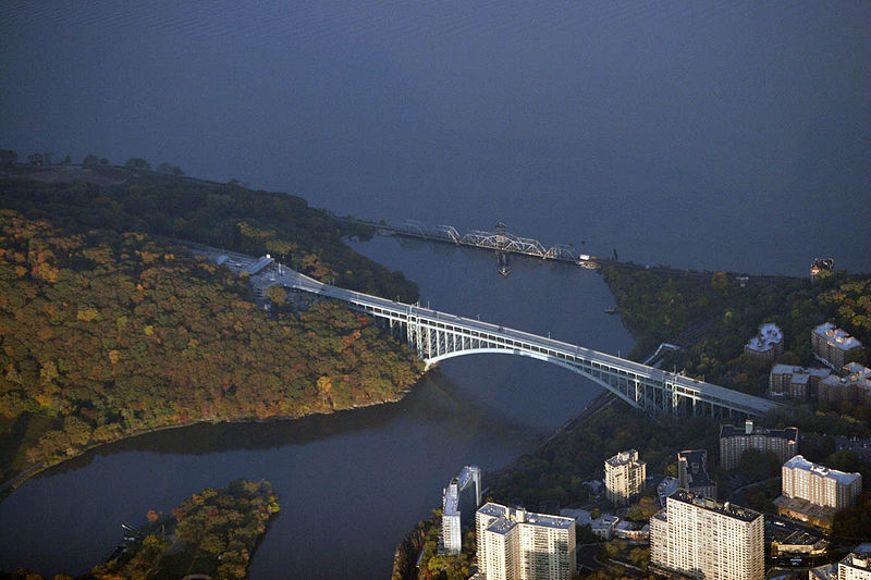
The Spuyten Duyvil Bridge is a railroad swing bridge that spans the Spuyten Duyvil Creek between Manhattan and the Bronx, in New York City. The bridge is located at the northern tip of Manhattan where the Spuyten Duyvil Creek meets the Hudson River, approximately 1,000 feet to the west of the Henry Hudson Bridge. ()
Opened: 1900 (126 years ago)Length: 610 ftCoordinates: 40°52'42"N, 73°55'32"W
Day trips
Spuyten Duyvil Bridge – popular in the area (distance from the attraction)
Nearby attractions include: The Cloisters, Fort Tryon Park, Dyckman Farmhouse Museum, Dyckman Street.
Frequently Asked Questions (FAQ)
Which popular attractions are close to Spuyten Duyvil Bridge?
Nearby attractions include Henry Hudson Bridge, New York City (6 min walk), Inwood Hill Park, New York City (8 min walk), Edgehill Church of Spuyten Duyvil, New York City (8 min walk), Henry Hudson Park, New York City (13 min walk).
How to get to Spuyten Duyvil Bridge by public transport?
The nearest stations to Spuyten Duyvil Bridge:
Train
Metro
Train
- Spuyten Duyvil (5 min walk)
- Marble Hill (19 min walk)
Metro
- 207th Street–Inwood • Lines: A (20 min walk)
- 215th Street • Lines: 1 (21 min walk)
 Subway
 Manhattan Buses

