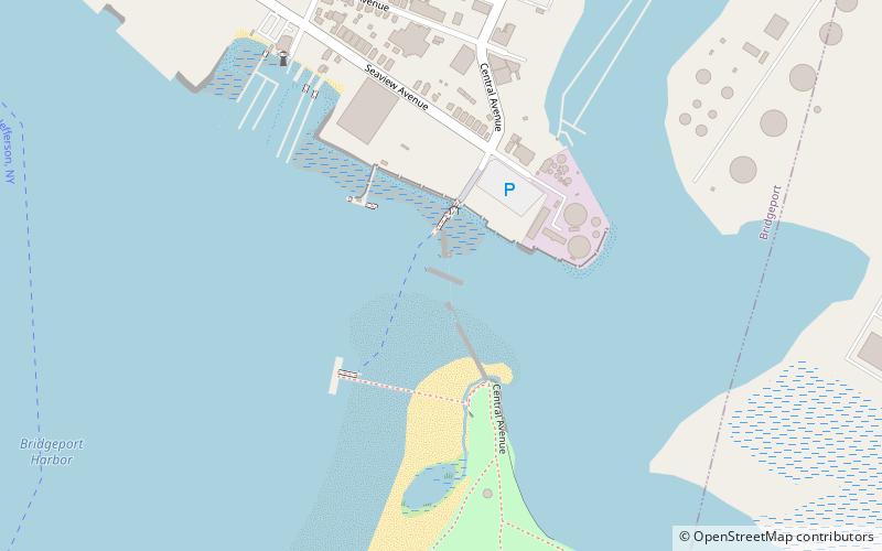
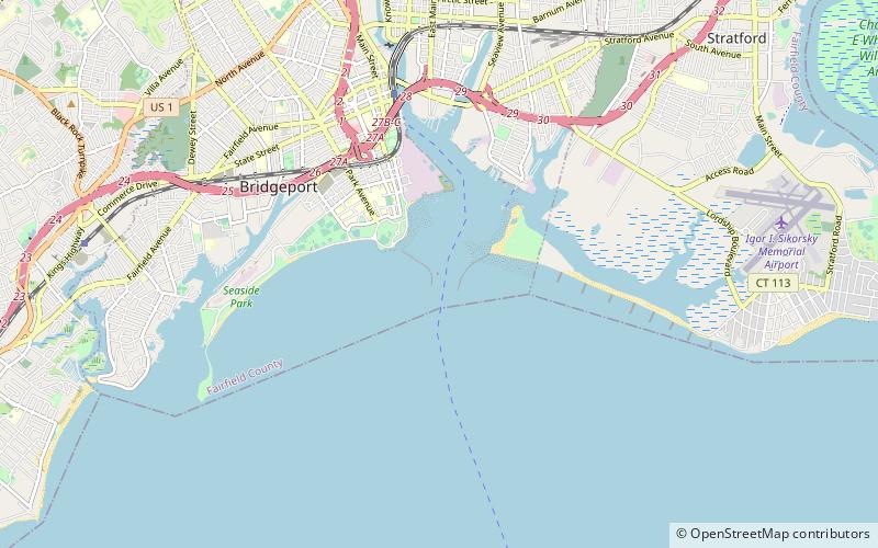
Pleasure Beach Bridge, Bridgeport
Map
Facts and practical information
The Pleasure Beach Bridge is a movable Warren through-truss bridge in Bridgeport, Connecticut. Completed in 1927, it functioned as a toll bridge until the Great Depression, when it was transferred to the city of Bridgeport. Its service life came to an end after it was badly damaged by fire in 1996, cutting off access to Pleasure Beach. In the decade following the fire, several bonds to fund a new bridge were proposed, but ultimately fell through. Pleasure Beach has become the subject of debate, whether it will become an undisturbed protected salt marsh or be revitalized. An alternate method of access via water taxi service, first made possible by a grant in 2009, was not realized until 2013. ()
Opened: 1927 (99 years ago)Length: 1257 ftCoordinates: 41°9'58"N, 73°10'4"W
Address
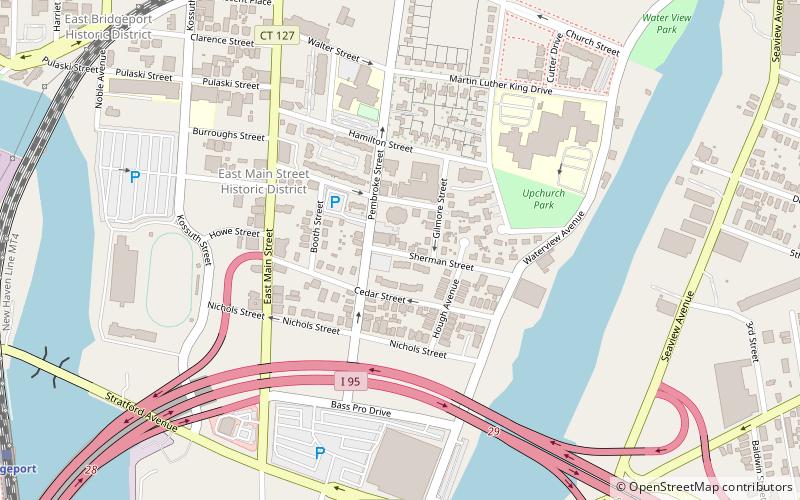
Bridgeport
ContactAdd
Social media
Add
Getting there by public transportation
Public transportation stops near this location
- Bus
- Train
 Bus
Bus
- Calculate routeBridgeport 33 min walk
- Calculate routeC2 37 min walk
- Calculate routeC3 37 min walk
- Calculate routeB2 37 min walk
- Calculate routeA1 38 min walk
Day trips


Frequently Asked Questions (FAQ)
Which popular attractions are close to Pleasure Beach Bridge?
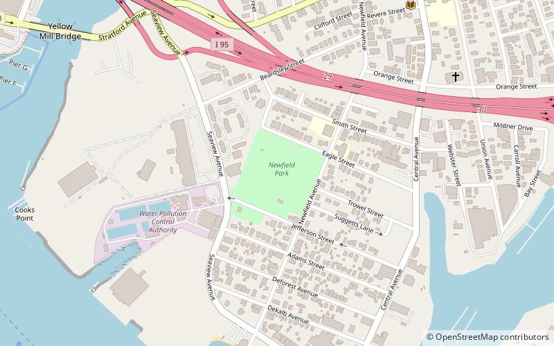
Nearby attractions include Pleasure Beach, Bridgeport (13 min walk), Tongue Point Light, Bridgeport (13 min walk), Newfield Park, Bridgeport (14 min walk), Blessed Sacrament Church, Bridgeport (18 min walk).
How to get to Pleasure Beach Bridge by public transport?
The nearest stations to Pleasure Beach Bridge:
Train
Bus
Train
- Bridgeport (33 min walk)
Bus
- C2 • Lines: 8 (37 min walk)
- C3 • Lines: 3 (37 min walk)