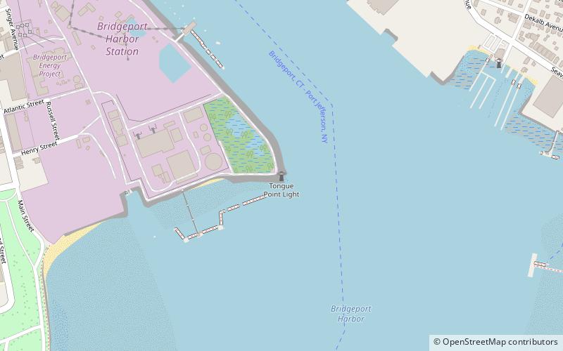
Tongue Point Light, Bridgeport

Gallery (1)
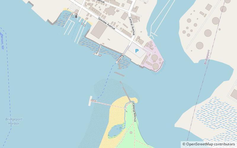
Map
Map
Facts and practical information
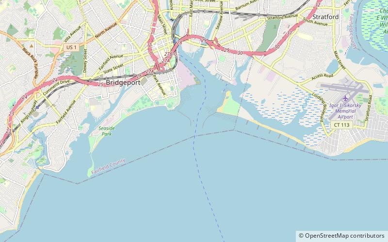
Tongue Point Light Lighthouse, also known as Bridgeport Breakwater or Bug Light, is a lighthouse on the west side of the Bridgeport Harbor entrance, in the city of Bridgeport, Connecticut in the United States. Built in 1891 and moved to its present location in 1919, it was instrumental in the development of the city's inner harbor as a transshipment point connecticut rail and water freight transport systems. It was added to the National Register of Historic Places in 1990. ()
Address
South EndBridgeport
ContactAdd
Social media
Add
Getting there by public transportation
Public transportation stops near this location
- Bus
- Train
 Bus
Bus
- Calculate routeBridgeport 24 min walk
- Calculate routeC2 29 min walk
- Calculate routeB2 29 min walk
- Calculate routeA1 29 min walk
- Calculate routeC3 29 min walk
Day trips


Frequently Asked Questions (FAQ)
Which popular attractions are close to Tongue Point Light?
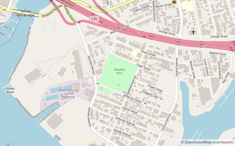
Nearby attractions include Barnum–Palliser Historic District, Bridgeport (10 min walk), Pleasure Beach Bridge, Bridgeport (13 min walk), Mary and Eliza Freeman Houses, Bridgeport (14 min walk), Newfield Park, Bridgeport (16 min walk).
How to get to Tongue Point Light by public transport?
The nearest stations to Tongue Point Light:
Train
Bus
Train
- Bridgeport (24 min walk)
Bus
- C2 • Lines: 8 (29 min walk)
- B2 • Lines: 5 (29 min walk)