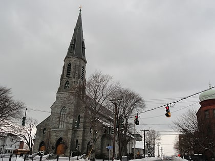
St. Mary Church, Bridgeport
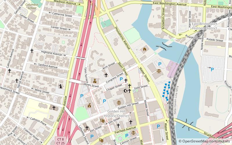
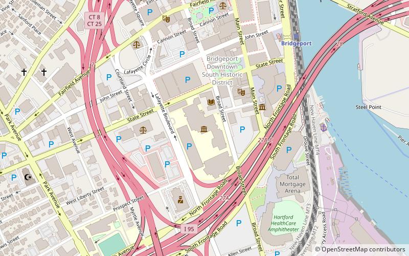
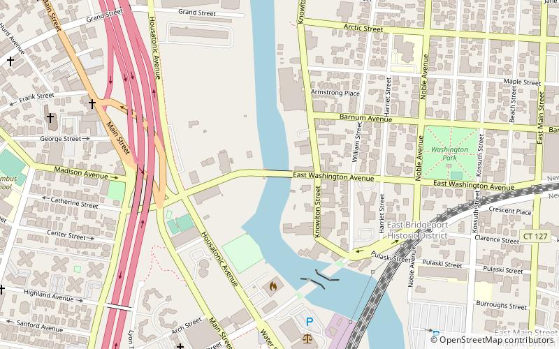
Map
Facts and practical information
St. Mary Parish is a Roman Catholic church in Bridgeport, Connecticut, part of the Diocese of Bridgeport. ()
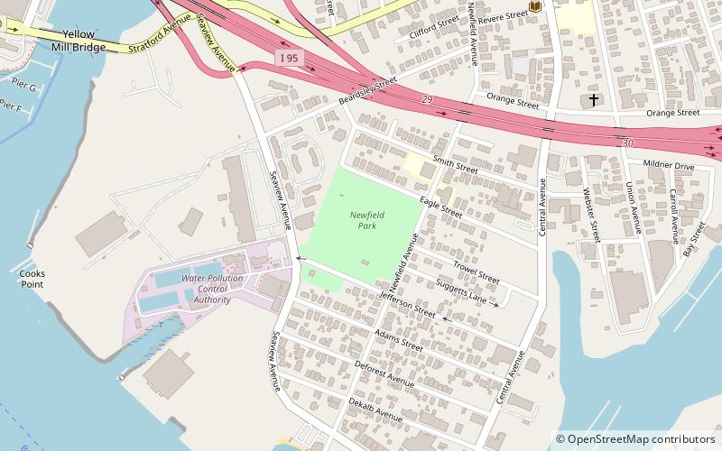
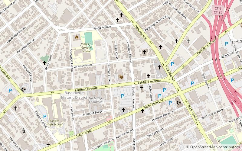
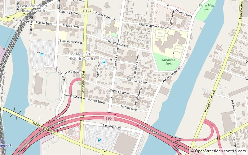
Coordinates: 41°10'52"N, 73°10'42"W
Address
East Bridgeport (East Side)Bridgeport
ContactAdd
Social media
Add
Day trips
St. Mary Church – popular in the area (distance from the attraction)
Nearby attractions include: Webster Bank Arena, Barnum Museum, McLevy Hall, St. Augustine Cathedral.
Frequently Asked Questions (FAQ)
Which popular attractions are close to St. Mary Church?
Nearby attractions include Sterling Hill Historic District, Bridgeport (2 min walk), Sts. Cyril and Methodius Church, Bridgeport (8 min walk), Deacon's Point Historic District, Bridgeport (12 min walk), Pequonnock River Railroad Bridge, Bridgeport (12 min walk).
How to get to St. Mary Church by public transport?
The nearest stations to St. Mary Church:
Bus
Train
Bus
- C6 • Lines: 19X (12 min walk)
- B6 • Lines: 1 (12 min walk)
Train
- Bridgeport (13 min walk)

