Duxbury Reef State Marine Conservation Area, Point Reyes National Seashore
Map
Facts and practical information
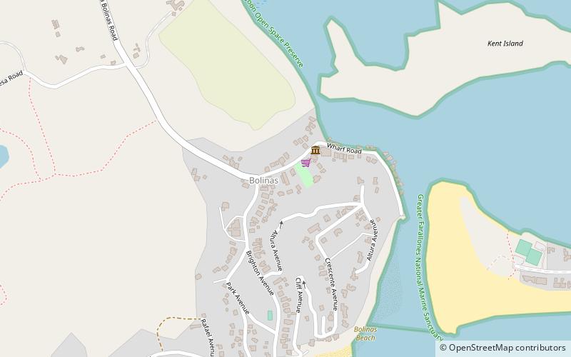
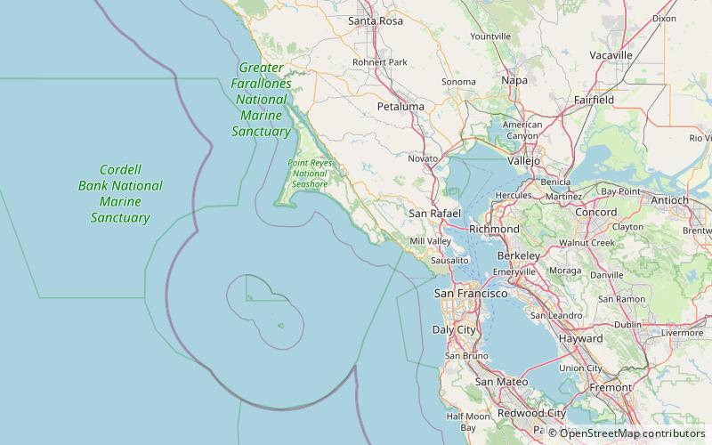
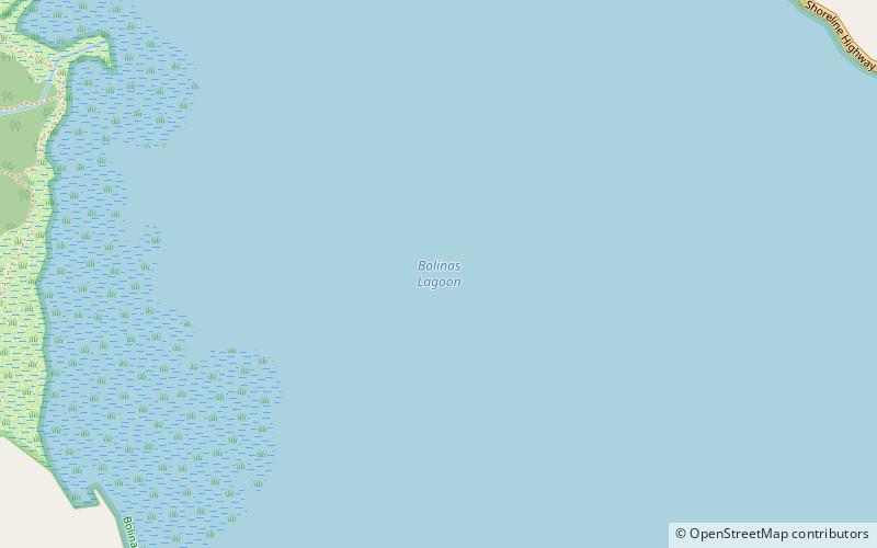
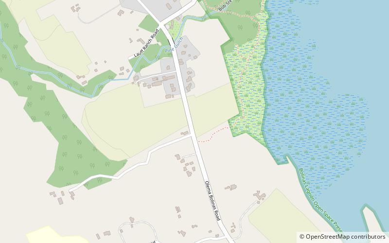
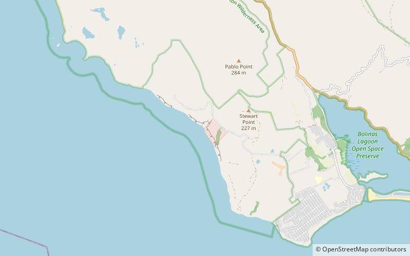
Duxbury Reef State Marine Conservation Area is a marine protected area located about 1 mile west of Bolinas in Marin County on California’s north central coast. This marine protected area covers 0.66 square miles. Duxbury Reef SMCA prohibits the take of all living marine resources, except the recreational take of finfish from shore only and the recreational take of abalone. ()
Coordinates: 37°55'31"N, 122°44'10"W
Address
Point Reyes National Seashore
ContactAdd
Social media
Add
Day trips