Trek Zone

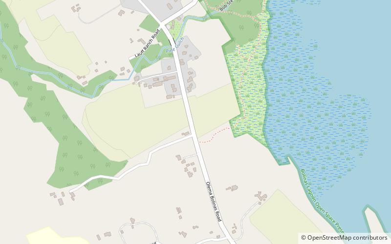
Bolinas Lagoon, Bolinas

#2 among attractions in Bolinas

Park
Bolinas Lagoon location map
Map

Facts and practical information
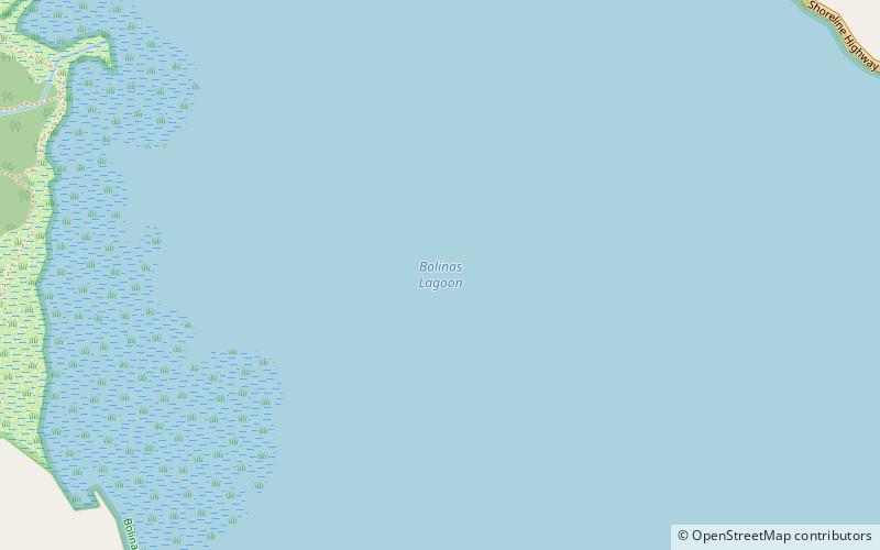
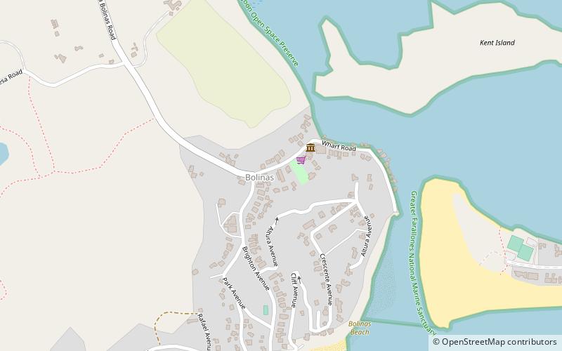
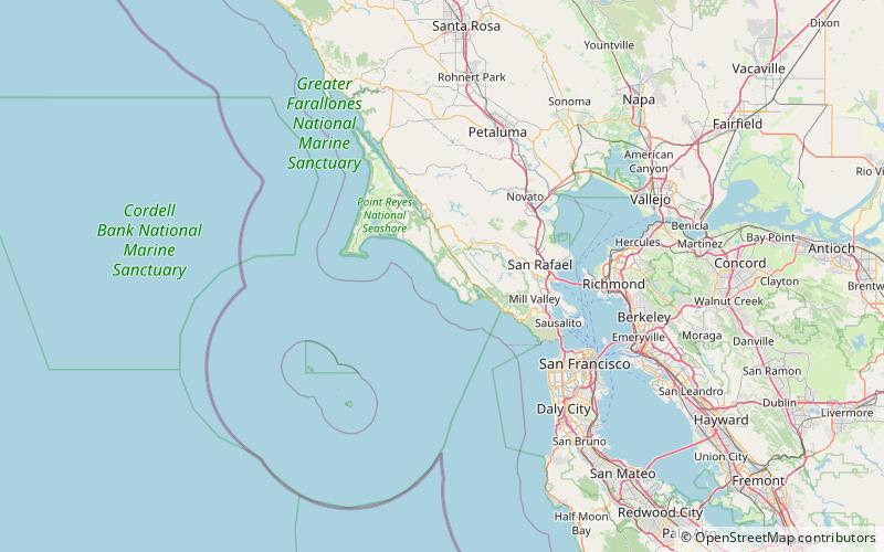
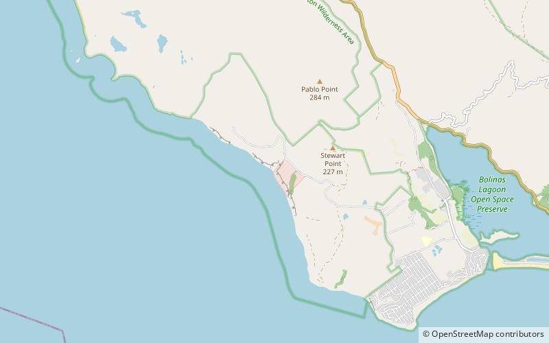
Alternative names: Elevation: 0 ft a.s.l.Coordinates: 37°55'6"N, 122°40'52"W
Address

Bolinas United States

ContactAdd
Social media
Add
Day trips

Bolinas Lagoon – popular in the area (distance from the attraction)

Nearby attractions include: Marin-Bolinas Botanical Gardens, Alamere Falls, Pelican Lake, Bass Lake.

  • marin bolinas botanical gardens location map
    0.7 miS
  • alamere falls phillip burton wilderness6.1 miNW
  • pelican lake phillip burton wilderness5.6 miNW
  • bass lake phillip burton wilderness location map
    5.6 miNW
  • stinson beach2.7 miSE
  • duxbury reef state marine conservation area point reyes national seashore location map
    3 miW
  • muir beach overlook mill valley location map
    6.4 miSE
  • fairfax6.9 miNE
  • cushing memorial amphitheatre mount tamalpais state park3.9 miE
  • olema valley point reyes national seashore location map
    6.6 miNW
  • bolinas stinson union school district location map
    0.6 miW

Frequently Asked Questions (FAQ)

Which popular attractions are close to Bolinas Lagoon?

Nearby attractions include Bolinas-Stinson Union School District, Bolinas (16 min walk), Marin-Bolinas Botanical Gardens, Bolinas (17 min walk).

Where to next? Visit california California region page or discover the top tourist attractions in United States.