Nicollet Avenue, Minneapolis
Map
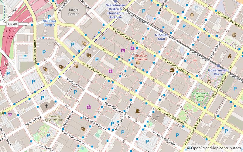
Map

Facts and practical information
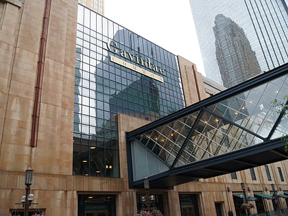
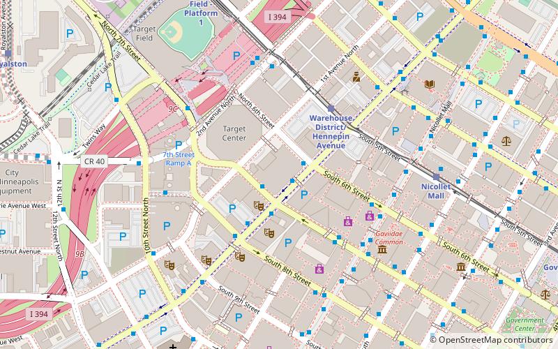
Nicollet Avenue is a major street in Minneapolis, Richfield, Bloomington, and Burnsville in the U.S. state of Minnesota. It passes through a number of locally well-known neighborhoods and districts, notably Eat Street in south Minneapolis and the traffic-restricted Nicollet Mall in downtown Minneapolis. ()
Coordinates: 44°58'35"N, 93°16'22"W
Address
Central Minneapolis (Downtown West)Minneapolis
ContactAdd
Social media
Add
Day trips
Nicollet Avenue – popular in the area (distance from the attraction)
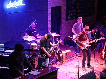
Nearby attractions include: Nicollet Mall, First Avenue, Dakota Jazz Club, Mayo Clinic Square.
Frequently Asked Questions (FAQ)
Which popular attractions are close to Nicollet Avenue?
Nearby attractions include IDS Center, Minneapolis (2 min walk), Minneapolis Skyway System, Minneapolis (2 min walk), Wells Fargo Center, Minneapolis (2 min walk), Forum Cafeteria, Minneapolis (3 min walk).
How to get to Nicollet Avenue by public transport?
The nearest stations to Nicollet Avenue:
Bus
Light rail
Train
Bus
- 7th Street & Nicollet Mall • Lines: 353, 355, 363, 94D, 94F (2 min walk)
- Marquette Avenue & 7th Street • Lines: 250C, 250M, 270 (2 min walk)
Light rail
- Nicollet Mall • Lines: 901, 902 (6 min walk)
- Warehouse District/Hennepin Avenue • Lines: 901, 902 (7 min walk)
Train
- Target Field (14 min walk)


