Fort Miley Military Reservation, San Francisco
Map

Gallery
Facts and practical information
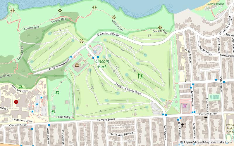
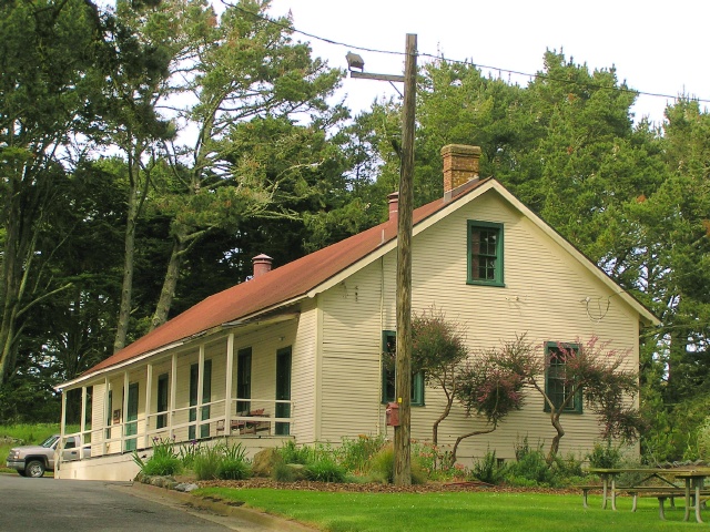
The Fort Miley Military Reservation, in San Francisco, California, sits on Point Lobos, one of the outer headlands on the southern side of the Golden Gate. Much of the site is part of the Golden Gate National Recreation Area, while the grounds and buildings that were converted into the San Francisco VA Medical Center are administered by the Veterans Health Administration of the US Department of Veterans Affairs. ()
Built: 1899 (127 years ago)Coordinates: 37°46'56"N, 122°30'22"W
Address
Northwest San Francisco (Lincoln Park-Fort Miley)San Francisco
ContactAdd
Social media
Add
Day trips
Fort Miley Military Reservation – popular in the area (distance from the attraction)
Nearby attractions include: Legion of Honor Museum, Lands End, USS San Francisco Memorial, Golden Gate Park windmills.
Frequently Asked Questions (FAQ)
Which popular attractions are close to Fort Miley Military Reservation?
Nearby attractions include Lincoln Park, San Francisco (6 min walk), Lands End, San Francisco (6 min walk), Legion of Honor Museum, San Francisco (9 min walk), USS San Francisco Memorial, San Francisco (9 min walk).
How to get to Fort Miley Military Reservation by public transport?
The nearest stations to Fort Miley Military Reservation:
Bus
Trolleybus
Bus
- Fort Miley Hospital • Lines: 38 (3 min walk)
- 43rd Avenue & Clement Street • Lines: 38 (4 min walk)
Trolleybus
- 33rd Avenue & Clement Street • Lines: 1 (18 min walk)
- Geary Boulevard & 33rd Avenue • Lines: 1 (19 min walk)

 Muni Metro


