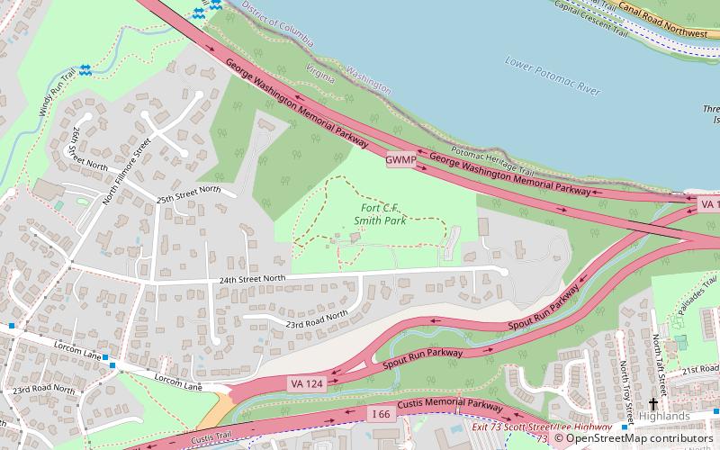
Fort C. F. Smith, Arlington
Map

Map

Facts and practical information
Fort C.F. Smith was a lunette that the Union Army constructed in Alexandria County, Virginia, during 1863 as part of the Civil War defenses of Washington. It was named in honor of General Charles Ferguson Smith, who died from a leg infection that was aggravated by dysentery on April 25, 1862. Fort C. F. Smith connected the Potomac River to the Arlington Line, a row of fortifications south of Washington, D.C., that was intended to protect the capital of the United States from an invasion by the Confederate States Army. ()
Built: 1863 (163 years ago)Coordinates: 38°54'6"N, 77°5'25"W
Day trips
Fort C. F. Smith – popular in the area (distance from the attraction)
Nearby attractions include: The Crossing Clarendon, Jesuit Community Cemetery, Statue of John Carroll, Fletcher's Cove.
Frequently Asked Questions (FAQ)
Which popular attractions are close to Fort C. F. Smith?
Nearby attractions include Windy Run, Arlington (12 min walk), Washington, Washington D.C. (14 min walk), Potomac Palisades Site, Washington D.C. (15 min walk), Castle Gatehouse, Washington D.C. (17 min walk).
How to get to Fort C. F. Smith by public transport?
The nearest stations to Fort C. F. Smith:
Bus
Metro
Bus
- N Lorcom Ln at N Edgewood St • Lines: 62 (10 min walk)
- N Veitch St at N Uhle St • Lines: 61A, 61B (10 min walk)
Metro
- Court House • Lines: Or, Sv (21 min walk)
- Clarendon • Lines: Or, Sv (28 min walk)


