Gaudineer Scenic Area, Monongahela National Forest
Map

Map

Facts and practical information
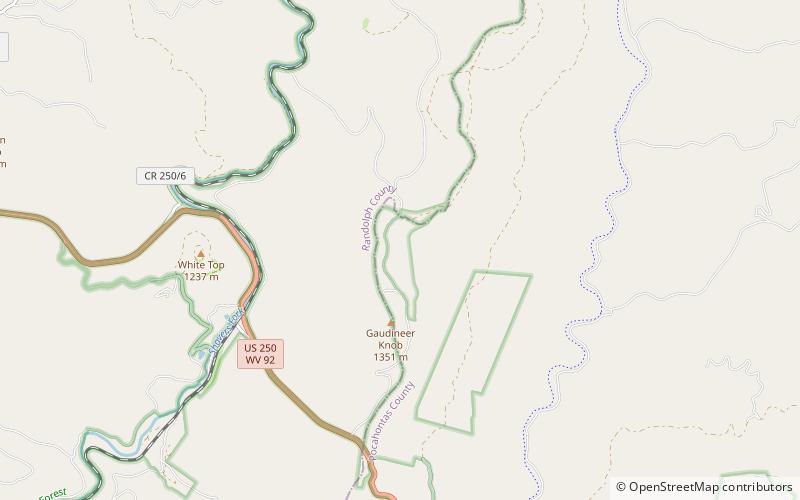
The Gaudineer Scenic Area is a scenic area and National Natural Landmark in the Monongahela National Forest. It is situated just north of Gaudineer Knob of Shavers Mountain on the border of Randolph and Pocahontas Counties, West Virginia, USA, about 5 miles northwest of the town of Durbin. ()
Established: 1964 (62 years ago)Elevation: 3891 ft a.s.l.Coordinates: 38°37'30"N, 79°50'33"W
Day trips
Gaudineer Scenic Area – popular in the area (distance from the attraction)
Nearby attractions include: Gaudineer Knob, Barton Knob, White Top, Cheat Bridge.


