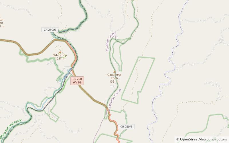
Gaudineer Knob, Monongahela National Forest
Map

Map

Facts and practical information
Gaudineer Knob is a mountain summit on the Randolph/Pocahontas County line in eastern West Virginia, USA. It is the highest elevation of Shavers Mountain, a ridge of the Alleghenies, and is located about 1.7 miles east of Cheat Bridge. The Gaudineer Knob Lookout Tower, an important US Forest Service fire tower, formerly occupied the crown of the knob. ()
Elevation: 4449 ftProminence: 720 ftCoordinates: 38°36'55"N, 79°50'39"W
Day trips
Gaudineer Knob – popular in the area (distance from the attraction)
Nearby attractions include: Barton Knob, Gaudineer Scenic Area, White Top, Cheat Bridge.


