White Top, Monongahela National Forest
Map

Gallery

Facts and practical information
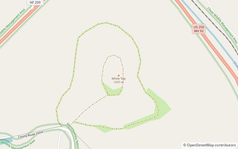
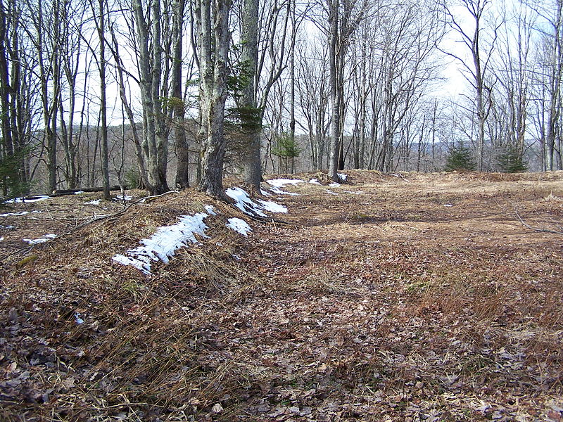
White Top is a knob and spur of Cheat Mountain in southeastern Randolph County, West Virginia, USA. Sitting at an elevation of 4,085 feet, it is located just west of the Shavers Fork of Cheat River and Cheat Bridge. While White Top was originally crossed by the Staunton-Parkersburg Turnpike, modern-day U.S. Route 250 skirts the base of the knob beside Shavers Fork to the north and east. ()
Elevation: 4085 ftCoordinates: 38°37'29"N, 79°52'36"W
Day trips
White Top – popular in the area (distance from the attraction)
Nearby attractions include: Gaudineer Knob, Barton Knob, Gaudineer Scenic Area, Cheat Bridge.


