Cumberland Dam, Cumberland

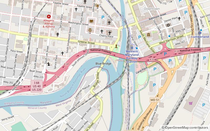
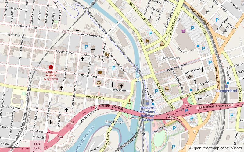
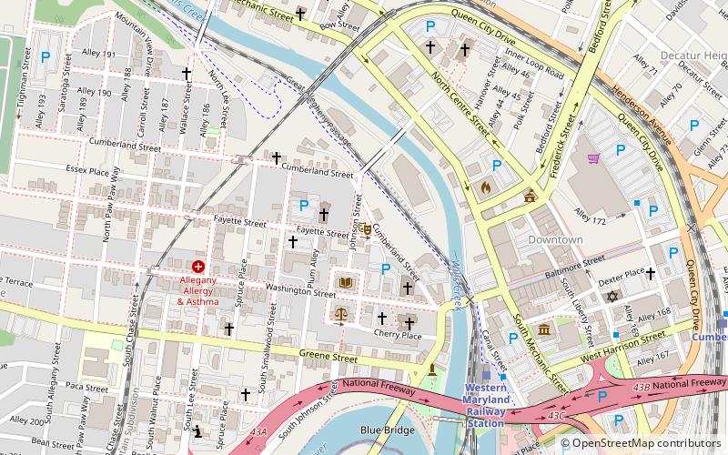
Map
Facts and practical information
The Cumberland Dam was built across the North Branch of the Potomac River at Cumberland, Maryland, for the purpose of diverting water of the river into the head of the Chesapeake and Ohio Canal. The Chesapeake and Ohio Canal Company began construction of its Dam No. 8 in 1837 and work proceeded intermittently, finally concluding in 1850. The dam impounded water over a distance of a mile, causing back water for about 3 miles up the river. Above the dam is the mouth of Wills Creek. ()
Coordinates: 39°38'55"N, 78°45'57"W
Address
Cumberland
ContactAdd
Social media
Add
Day trips
Cumberland Dam – popular in the area (distance from the attraction)
Nearby attractions include: Great Allegheny Passage, Canal Place, B'er Chayim Temple, Washington Street Library.
Frequently Asked Questions (FAQ)
Which popular attractions are close to Cumberland Dam?
Nearby attractions include George Washington's Headquarters, Cumberland (3 min walk), Caiuctucuc, Cumberland (3 min walk), Canal Place, Cumberland (4 min walk), Emmanuel Episcopal Church, Cumberland (4 min walk).
How to get to Cumberland Dam by public transport?
The nearest stations to Cumberland Dam:
Train
Train
- Cumberland (12 min walk)


