Fort Cumberland, Cumberland

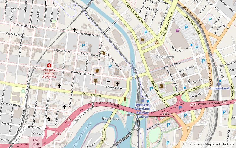
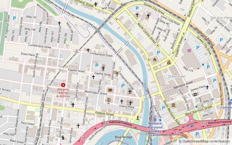
Map
Facts and practical information
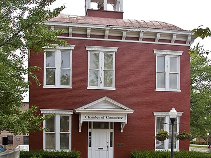
Fort Cumberland was an 18th-century frontier fort at the current site of Cumberland, Maryland, USA. It was an important military and economic center during the French and Indian War and figured significantly in the early career of George Washington. ()
Coordinates: 39°39'4"N, 78°45'55"W
Address
Cumberland
ContactAdd
Social media
Add
Day trips
Fort Cumberland – popular in the area (distance from the attraction)
Nearby attractions include: Great Allegheny Passage, Canal Place, B'er Chayim Temple, Washington Street Library.
Frequently Asked Questions (FAQ)
Which popular attractions are close to Fort Cumberland?
Nearby attractions include Emmanuel Episcopal Church, Cumberland (1 min walk), Washington Street Library, Cumberland (3 min walk), Allegany County Courthouse, Cumberland (3 min walk), Cumberland Theatre, Cumberland (3 min walk).
How to get to Fort Cumberland by public transport?
The nearest stations to Fort Cumberland:
Train
Train
- Cumberland (11 min walk)


