Great Allegheny Passage, Cumberland
Map
Gallery
Facts and practical information
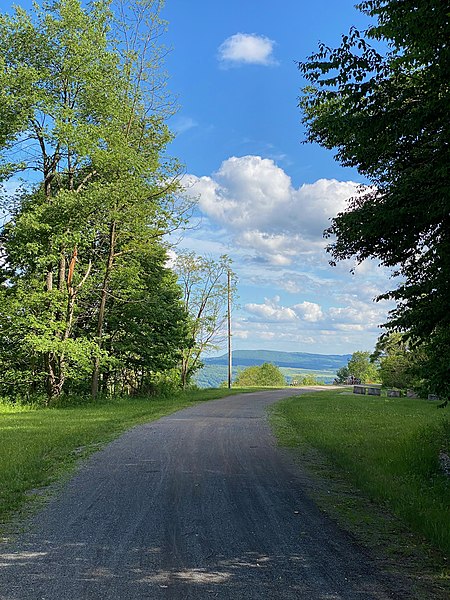
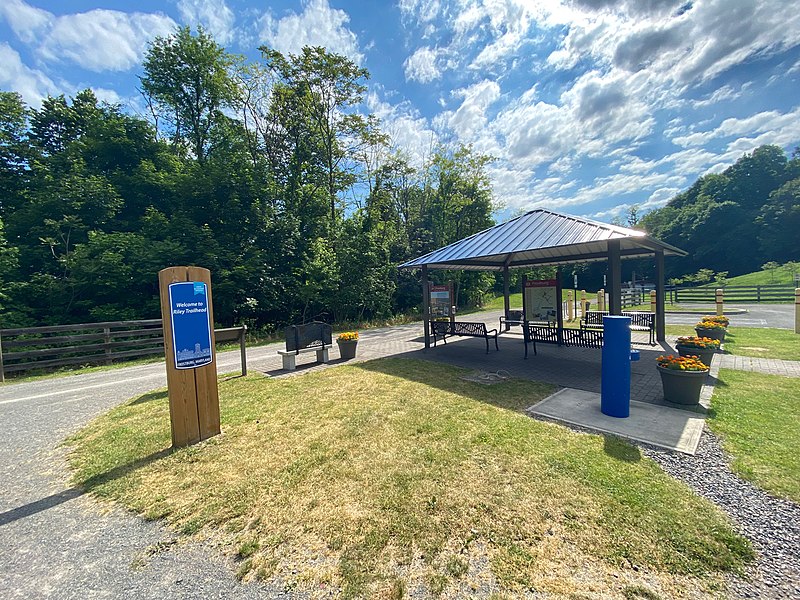
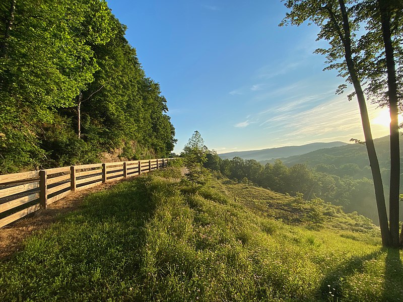
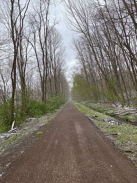
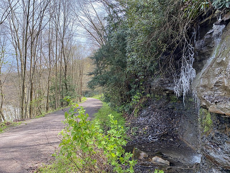
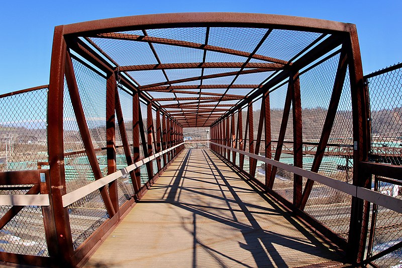
The Great Allegheny Passage is a rail trail system in Maryland and Pennsylvania—the central trail of a network of long-distance hiker-biker trails throughout the Allegheny region of the Appalachian Mountains, connecting Washington, D.C. to Pittsburgh, Pennsylvania. It consists of several smaller trails including the Allegheny Highlands Trail of Maryland, the Allegheny Highlands Trail of Pennsylvania and the Youghiogheny River Trail. ()
Length: 150 miMaximum elevation: 2392 ftCoordinates: 39°38'57"N, 78°45'47"W
Address
Cumberland
ContactAdd
Social media
Add
Day trips
Great Allegheny Passage – popular in the area (distance from the attraction)
Nearby attractions include: Canal Place, B'er Chayim Temple, Washington Street Library, Emmanuel Episcopal Church.
Frequently Asked Questions (FAQ)
Which popular attractions are close to Great Allegheny Passage?
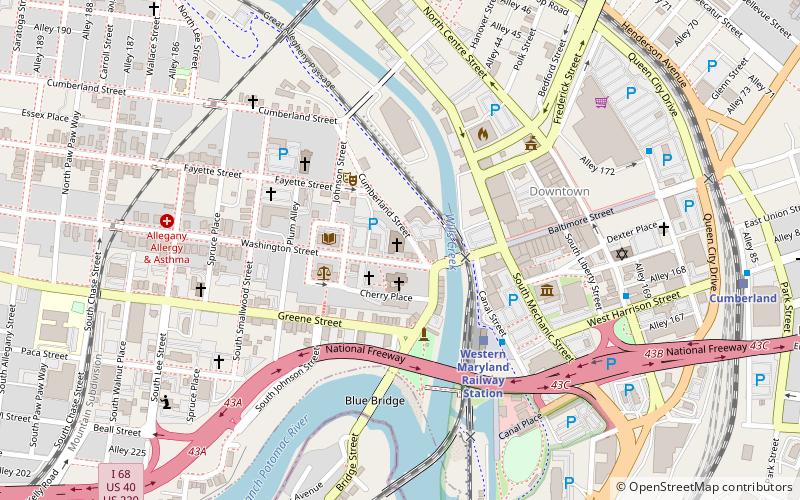
Nearby attractions include Canal Place, Cumberland (1 min walk), George Washington's Headquarters, Cumberland (3 min walk), Cumberland Dam, Cumberland (4 min walk), Emmanuel Episcopal Church, Cumberland (5 min walk).
How to get to Great Allegheny Passage by public transport?
The nearest stations to Great Allegheny Passage:
Train
Train
- Cumberland (8 min walk)


