Mount Olivet Cemetery, Detroit

Map
Facts and practical information
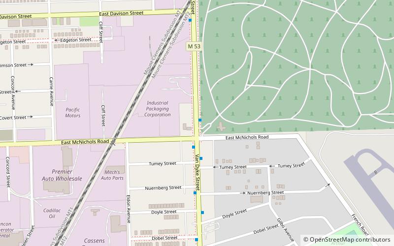
Mount Olivet Cemetery is a cemetery at 17100 Van Dyke Avenue in the city of Detroit in Wayne County, Michigan. It opened in 1888 and is owned and operated by the Mount Elliott Cemetery Association, a not-for-profit Catholic organization. At 320 acres, it is the largest cemetery in Detroit, although it no longer promotes itself publicly as a Roman Catholic institution. ()
Coordinates: 42°25'12"N, 83°1'25"W
Address
Osborn (Mount Olivet)Detroit
ContactAdd
Social media
Add
Day trips
Mount Olivet Cemetery – popular in the area (distance from the attraction)
Nearby attractions include: Highland Heights–Stevens' Subdivision Historic District, Packard Automotive Plant, Ukrainian American Archives and Museum of Detroit, St. Florian Church.
Frequently Asked Questions (FAQ)
How to get to Mount Olivet Cemetery by public transport?
The nearest stations to Mount Olivet Cemetery:
Bus
Bus
- Van Dyke / McNichols • Lines: 05 (1 min walk)


