Hot Creek, Devils Postpile National Monument
Map

Map

Facts and practical information
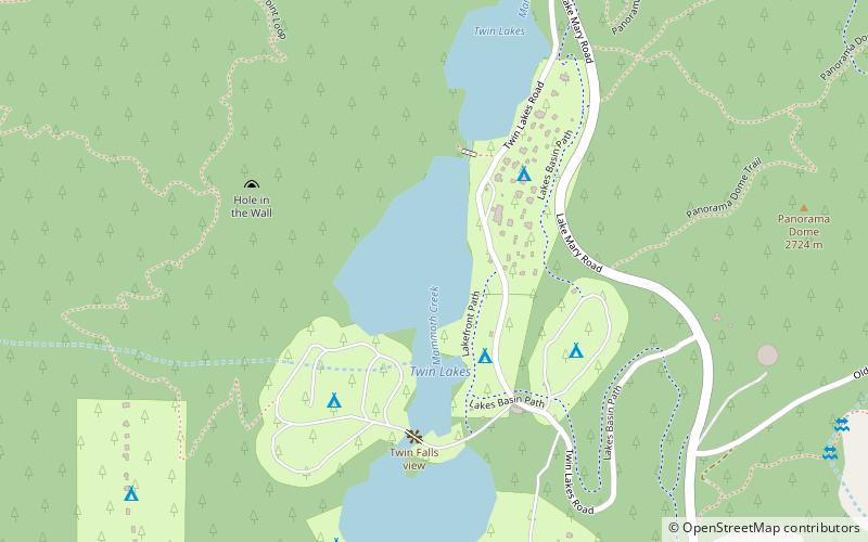
Hot Creek, starting as Mammoth Creek, is a stream in Mono County of eastern California, in the Western United States. It is within the Inyo National Forest. ()
Coordinates: 37°37'5"N, 119°0'29"W
Address
Devils Postpile National Monument
ContactAdd
Social media
Add
Day trips
Hot Creek – popular in the area (distance from the attraction)
Nearby attractions include: Mammoth Mountain, Rainbow Falls, Mammoth Mountain Ski Area, Twin Lakes.
Frequently Asked Questions (FAQ)
Which popular attractions are close to Hot Creek?
Nearby attractions include Twin Lakes, Inyo National Forest (4 min walk), The Gallery at Twin Lakes, Inyo National Forest (9 min walk), Sherwin Range, Inyo National Forest (12 min walk).


