Chelsea Street Bridge, Boston
Map

Gallery

Facts and practical information
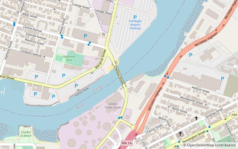
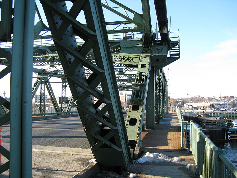
The Chelsea Street Bridge is a vertical-lift bridge that carries Chelsea Street between East Boston, Massachusetts, and Chelsea, Massachusetts, over the Chelsea Creek. It opened to traffic on May 12, 2012, after a $125.3M construction project replaced the previous bridge, a single-leaf bascule-type drawbridge. The span is 450 feet with a vertical clearance, when opened, of 175 feet. There are two lanes and a sidewalk in each direction. ()
Length: 450 ftCoordinates: 42°23'11"N, 71°1'22"W
Day trips
Chelsea Street Bridge – popular in the area (distance from the attraction)
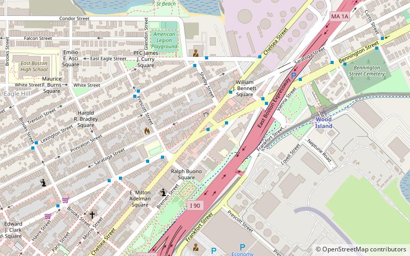
Nearby attractions include: Constitution Beach, Day Square, Congregation Agudath Shalom, Bellingham-Cary House.
Frequently Asked Questions (FAQ)
Which popular attractions are close to Chelsea Street Bridge?
Nearby attractions include Baker Congregational Church, Boston (9 min walk), Bennington Street Burying Ground, Boston (10 min walk), Temple Ohabei Shalom Cemetery, Boston (13 min walk), Day Square, Boston (15 min walk).
How to get to Chelsea Street Bridge by public transport?
The nearest stations to Chelsea Street Bridge:
Metro
Train
Metro
- Wood Island • Lines: Blue (12 min walk)
- Airport • Lines: Blue (24 min walk)
Train
- Chelsea station (33 min walk)

 MBTA Subway


