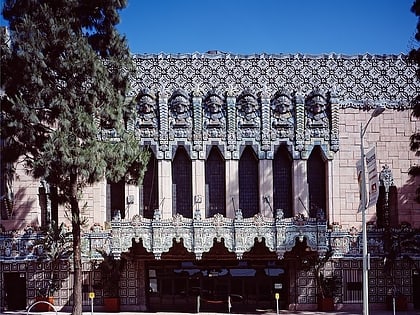
Figueroa Street, Los Angeles
Map

Gallery
Facts and practical information
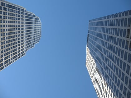
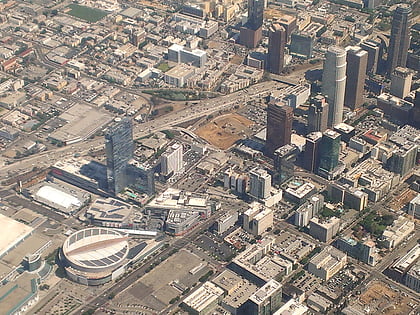
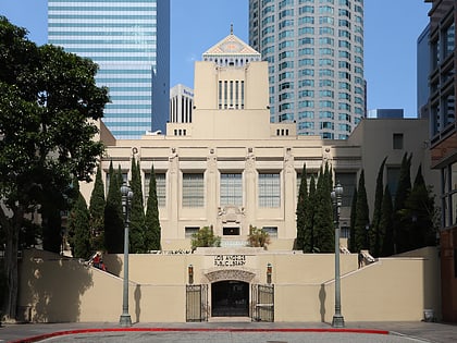
Figueroa Street is a major north-south street in Los Angeles County, California, spanning from the Los Angeles neighborhood of Wilmington north to Eagle Rock. A short, unconnected continuation of Figueroa Street runs just south of Marengo Drive in Glendale to Chevy Chase Drive in La Cañada Flintridge. ()
Address
735 South Figueroa StreetCentral Los Angeles (Downtown Los Angeles)Los Angeles
Contact
Social media
Add
Day trips
Figueroa Street – popular in the area (distance from the attraction)
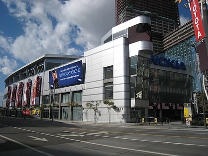
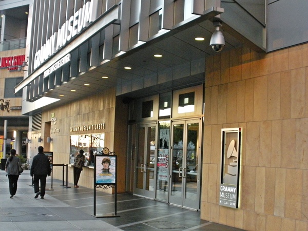
Nearby attractions include: Staples Center, FIGat7th, Grammy Museum, Grand Hope Park.
Frequently Asked Questions (FAQ)
Which popular attractions are close to Figueroa Street?
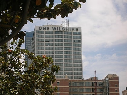
Nearby attractions include 777 Tower, Los Angeles (1 min walk), Fine Arts Building, Los Angeles (4 min walk), Wilshire Grand Center, Los Angeles (5 min walk), One Wilshire, Los Angeles (5 min walk).
How to get to Figueroa Street by public transport?
The nearest stations to Figueroa Street:
Bus
Metro
Light rail
Bus
- Flower Street & 7th Street • Lines: J (3 min walk)
- 6th Street & Flower Street • Lines: J (7 min walk)
Metro
- 7th Street/Metro Center • Lines: B, D (4 min walk)
- Pershing Square • Lines: B, D (15 min walk)
Light rail
- 7th Street/Metro Center • Lines: A, E (4 min walk)
- Pico • Lines: A, E (16 min walk)

 Metro & Regional Rail
