Matapeake State Park, Kent Island
Map

Map

Facts and practical information
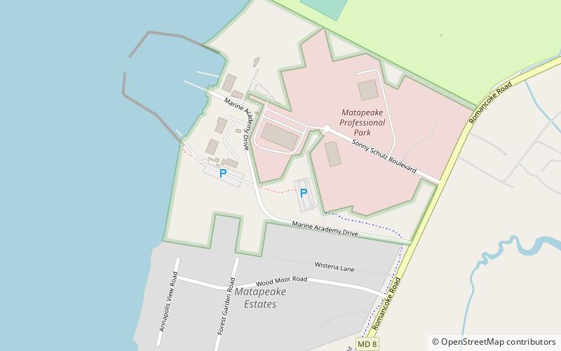
Matapeake State Park is a public recreation area on Chesapeake Bay occupying the site of a former ferry landing in Matapeake, Kent Island, Maryland. The landing served the state-owned Chesapeake Bay Ferry System before the Chesapeake Bay Bridge opened. The park is leased and managed by Queen Anne's County. ()
Established: 2009 (17 years ago)Elevation: 20 ft a.s.l.Coordinates: 38°57'13"N, 76°21'9"W
Day trips
Matapeake State Park – popular in the area (distance from the attraction)
Nearby attractions include: Cross Island Trail, Thomas Point Shoal Light, Christ Church, Castle Harbor Marina.


