I Street Bridge, Sacramento
Map

Gallery

Facts and practical information
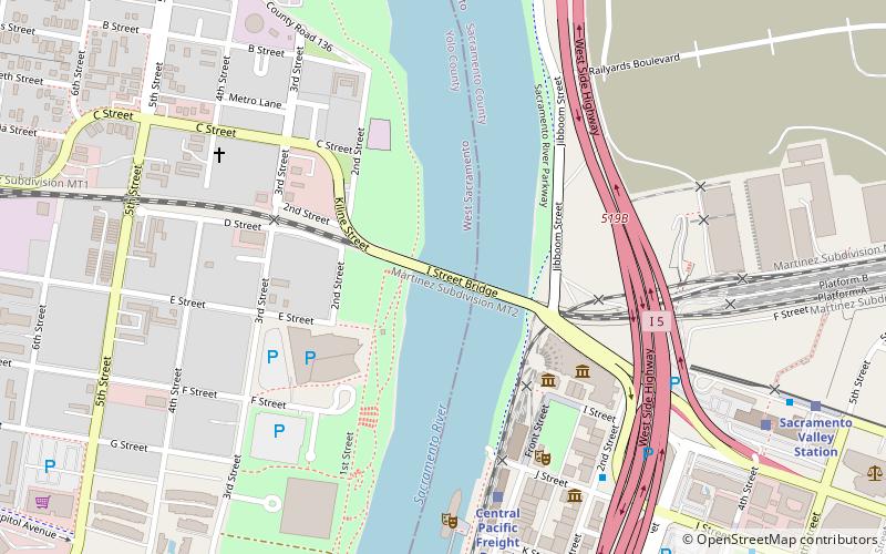
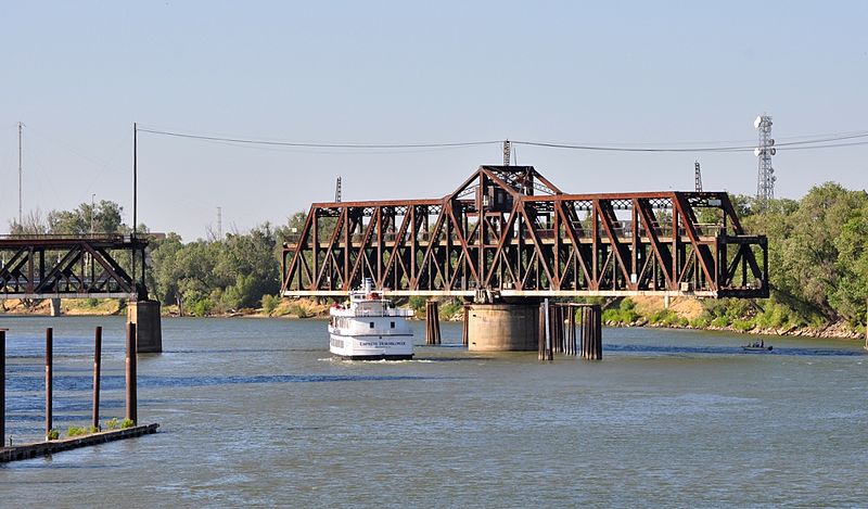
The I Street Bridge is a historic metal truss swing bridge which crosses the Sacramento River to link the capital city of Sacramento, California, with Yolo County to the west. Built in 1911, this historic bridge has a vertical clearance of 14 feet 8 inches and was originally part of State Route 16. It also carries two walkways; one on either side of the roadway. ()
Length: 400 ftCoordinates: 38°35'11"N, 121°30'25"W
Address
I StreetWest Sacramento (Washington)Sacramento 95605
ContactAdd
Social media
Add
Day trips
I Street Bridge – popular in the area (distance from the attraction)
Nearby attractions include: Old Sacramento, Crocker Art Museum, Downtown Commons, California State Railroad Museum.
Frequently Asked Questions (FAQ)
Which popular attractions are close to I Street Bridge?
Nearby attractions include Sacramento History Museum, Sacramento (4 min walk), Big Four House, Sacramento (5 min walk), California State Railroad Museum, Sacramento (5 min walk), Huntington & Hopkins Hardware, Sacramento (6 min walk).
How to get to I Street Bridge by public transport?
The nearest stations to I Street Bridge:
Train
Bus
Light rail
Train
- Central Pacific Freight Depot (7 min walk)
- Sacramento Valley Station (10 min walk)
Bus
- Sacramento • Lines: 2062, 2064 (7 min walk)
- Sacramento Valley Station (11 min walk)
Light rail
- Sacramento Valley Station • Lines: Gold (11 min walk)
- 7th & I/County Center • Lines: Gold, Green (16 min walk)


