Euclid Avenue, Cleveland

Facts and practical information
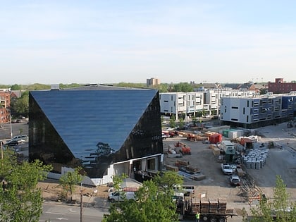
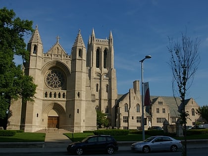
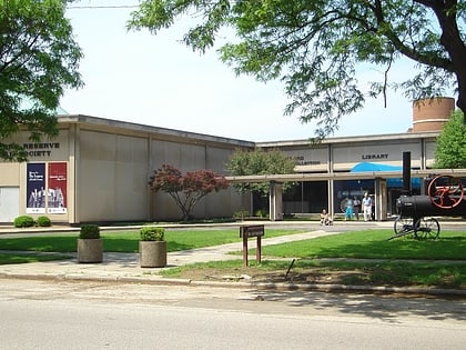
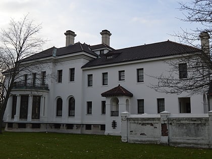
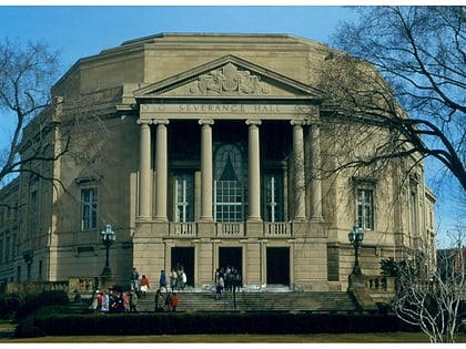
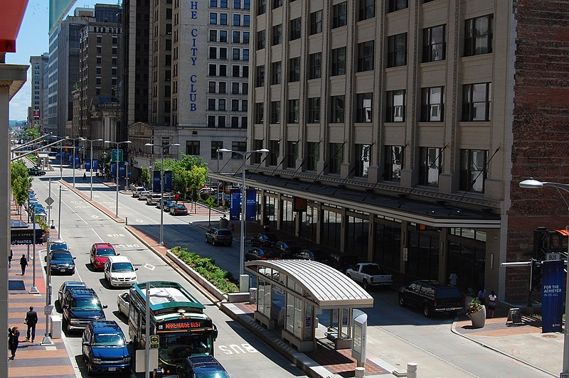
Euclid Avenue is a major street in Cleveland, Ohio. It runs northeasterly from Public Square in Downtown Cleveland, through the cities of East Cleveland, Euclid and Wickliffe, to the suburb of Willoughby as a part of U.S. Route 20 and U.S. Route 6. The street passes Playhouse Square, University Circle, Cleveland State University, the Cleveland Clinic, Severance Hall, Case Western Reserve University’s Maltz Performing Arts Center, Case Western Reserve University and University Hospitals Case Medical Center. The HealthLine bus rapid transit line runs in designated bus lanes in the median of Euclid Avenue from Public Square to Louis Stokes Station at Windermere in East Cleveland. ()
University CircleCleveland
Euclid Avenue – popular in the area (distance from the attraction)
Nearby attractions include: Cleveland Museum of Art, Wade Park, Cleveland Museum of Natural History, Cleveland Botanical Garden.
Frequently Asked Questions (FAQ)
Which popular attractions are close to Euclid Avenue?
How to get to Euclid Avenue by public transport?
Bus
- East 105th Street (5 min walk)
- Cedar–University • Lines: 8 (10 min walk)
Metro
- Cedar–University • Lines: Red (11 min walk)
- Little Italy–University Circle • Lines: Red (18 min walk)


