Cleveland/East Side, Cleveland
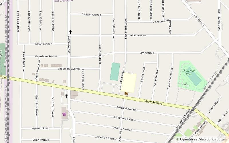
Map
Gallery
Facts and practical information
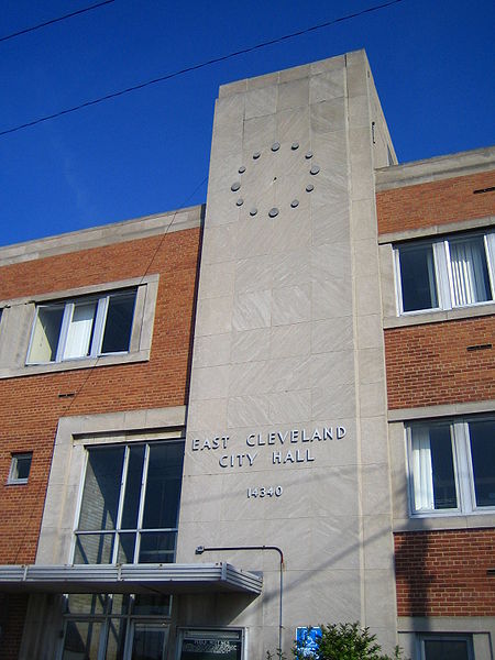
East Cleveland is a city in Cuyahoga County, Ohio, United States, and is the first suburb encountered when travelling east from Cleveland. The population was 13,792 at the 2020 census. East Cleveland is bounded by the city of Cleveland to its north, west, and a small section of its southwestern edge, and by Cleveland Heights to the east and the majority of its southern limits. ()
Day trips
Cleveland/East Side – popular in the area (distance from the attraction)
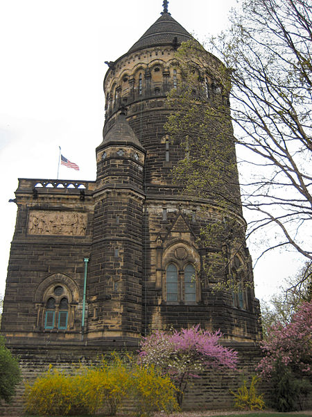
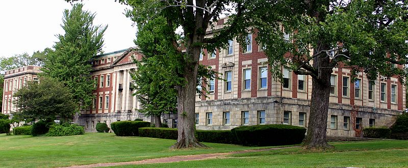
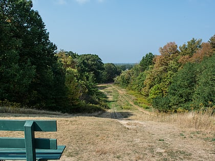
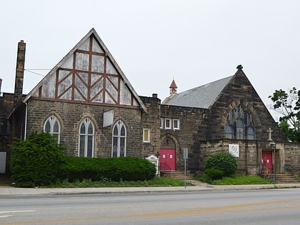
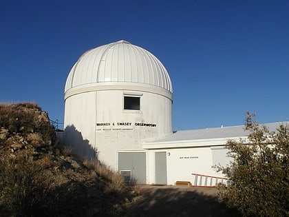
Nearby attractions include: Lake View Cemetery, Forest Hill Park, St. Paul's Episcopal Church of East Cleveland, Warner and Swasey Observatory.
Frequently Asked Questions (FAQ)
Which popular attractions are close to Cleveland/East Side?
Nearby attractions include Warner and Swasey Observatory, Cleveland (16 min walk), Forest Hill Park, Cleveland (18 min walk), St. Paul's Episcopal Church of East Cleveland, Cleveland (21 min walk).
How to get to Cleveland/East Side by public transport?
The nearest stations to Cleveland/East Side:
Bus
Metro
Bus
- Louis Stokes - Windermere • Lines: 41, 41F (7 min walk)
- 37 • Lines: 37 (23 min walk)
Metro
- Louis Stokes Station at Windermere • Lines: Red (9 min walk)
- Superior • Lines: Red (23 min walk)
