Lytle Park, Cincinnati
Map

Gallery

Facts and practical information
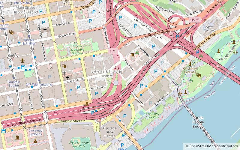
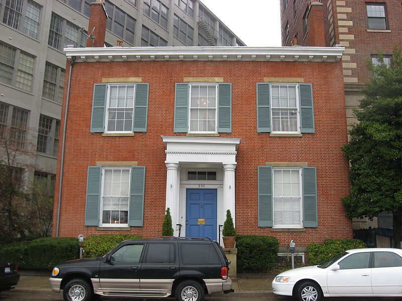
Lytle Park Historic District is a historic district in Cincinnati, Ohio, United States. Roughly bounded by 3rd, 5th, Sycamore, Commercial Sq. and Butler Sts. in downtown Cincinnati, it centers on Lytle Park. ()
Area: 50 acres (0.0781 mi²)Architectural style: Renaissance revivalElevation: 531 ft a.s.l.Coordinates: 39°6'4"N, 84°30'13"W
Address
E 4th St.Central Business DistrictCincinnati 45202
ContactAdd
Social media
Add
Day trips
Lytle Park – popular in the area (distance from the attraction)
Nearby attractions include: Great American Ball Park, Heritage Bank Center, Hard Rock Casino Cincinnati, Contemporary Arts Center.
Frequently Asked Questions (FAQ)
Which popular attractions are close to Lytle Park?
Nearby attractions include Statue of Abraham Lincoln, Cincinnati (1 min walk), Lytle Tunnel, Cincinnati (2 min walk), Literary Club of Cincinnati, Cincinnati (2 min walk), Taft Museum of Art, Cincinnati (3 min walk).
How to get to Lytle Park by public transport?
The nearest stations to Lytle Park:
Bus
Tram
Bus
- Pete Rose Way & Pike Street • Lines: 28 (3 min walk)
- E 5th St & Lawrence St • Lines: 16 (4 min walk)
Tram
- 247 Telemarketing • Lines: 100 (8 min walk)
- Richter & Phillips • Lines: 100 (10 min walk)


