Trek Zone

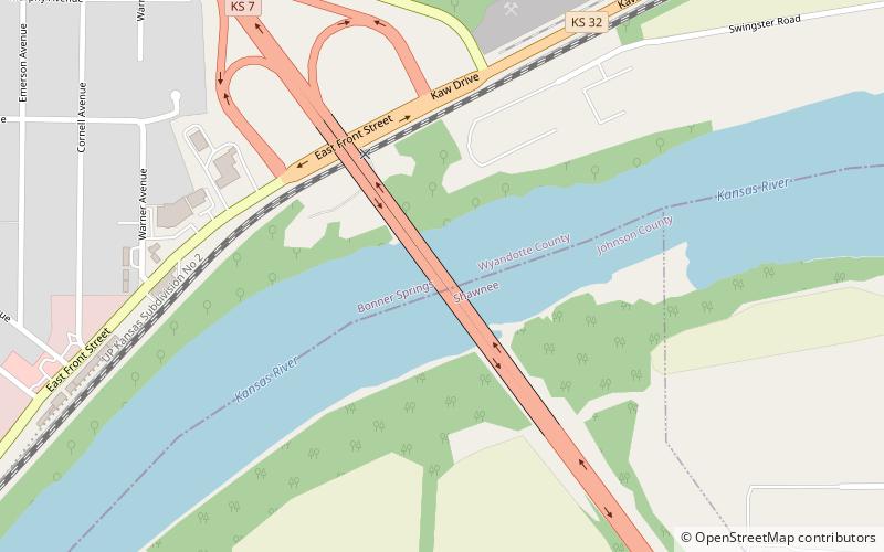
K-7 Bridge, Bonner Springs

#1 among attractions in Bonner Springs

Bridge
K-7 Bridge location map
Map

Facts and practical information

Opened: 1960 (64 years ago)Coordinates: 39°3'33"N, 94°52'17"W
Address

Bonner - LoringBonner Springs United States

ContactAdd
Social media
Add
Day trips

K-7 Bridge – popular in the area (distance from the attraction)

Nearby attractions include: Legends Outlets Kansas City, Schlitterbahn Kansas City, Legends Field, GreatLife Golf & Fitness - Burning Tree.

  • legends outlets kansas city5.3 miNE
  • schlitterbahn kansas city5.6 miNE
  • communityamerica ballpark kansas city5 miNE
  • greatlife golf fitness burning tree de soto7 miSW
  • kansas speedway kansas city4.5 miNE
  • interstate 435 bridge kansas city location map
    4.5 miE
  • highway 2 bridge de soto7.3 miSW
  • childrens mercy park kansas city5 miNE

Where to next? Visit kansas Kansas region page or discover the top tourist attractions in United States.