Trek Zone

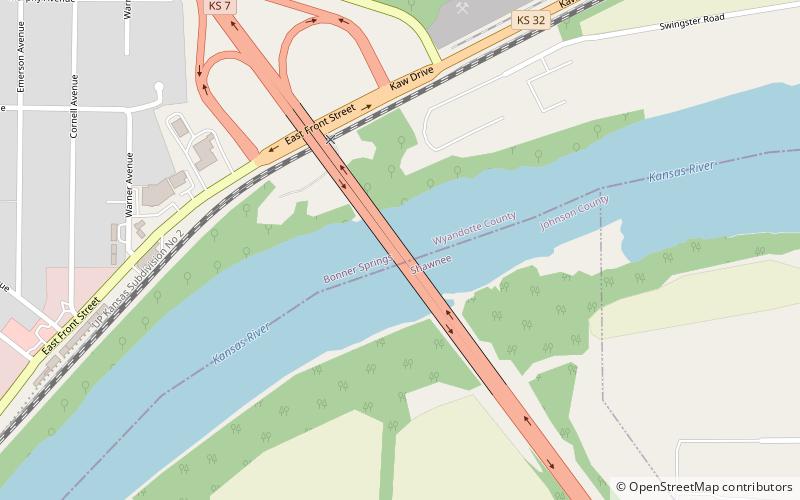
Interstate 435 Bridge, Kansas City

#164 among attractions in Kansas City

Bridge
Interstate 435 Bridge location map
Map

Facts and practical information
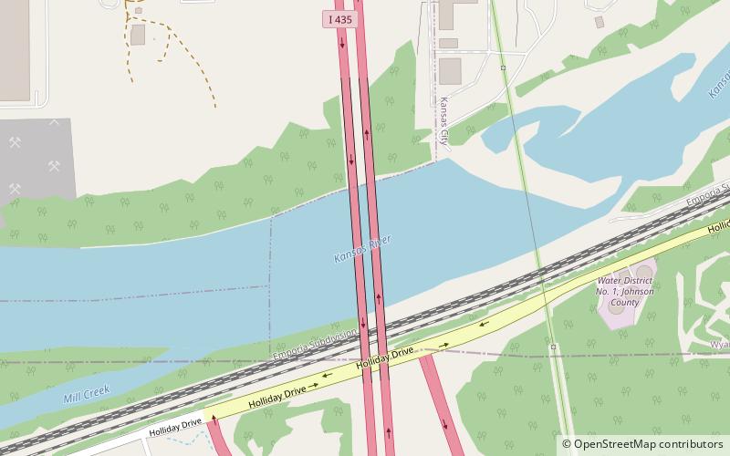
Opened: 1970 (54 years ago)Coordinates: 39°2'46"N, 94°47'23"W
Address

West Kansas CityKansas City United States

ContactAdd
Social media
Add
Day trips

Interstate 435 Bridge – popular in the area (distance from the attraction)

Nearby attractions include: Legends Outlets Kansas City, Schlitterbahn Kansas City, Legends Field, Grinter Place State Historic Site.

  • legends outlets kansas city5.9 miN
  • schlitterbahn kansas city5.2 miN
  • communityamerica ballpark kansas city5.8 miNW
  • grinter place state historic site kansas city2.6 miNE
  • merriam shawnee location map
    5.5 miE
  • kansas speedway kansas city5.3 miNW
  • k 7 bridge bonner springs location map
    4.5 miW
  • childrens mercy park kansas city5.5 miN
  • johnson county library overland park location map
    7.2 miSE
  • kansas city kansas community college location map
    5.7 miNE

Where to next? Visit kansas Kansas region page or discover the top tourist attractions in United States.