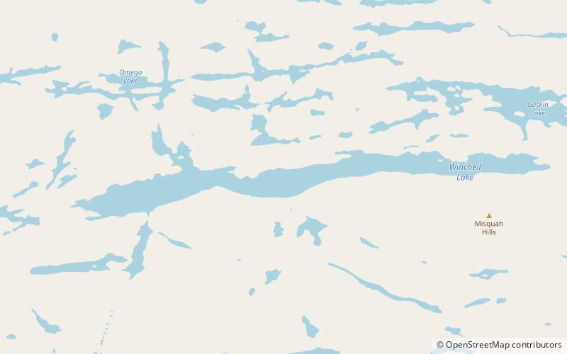
Misquah Hills High Point, Boundary Waters Canoe Area Wilderness
Map
Facts and practical information
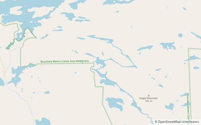
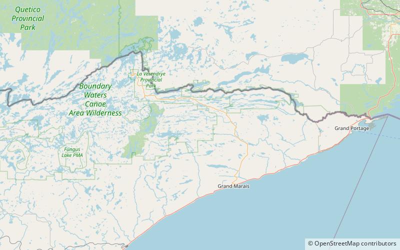
The Misquah Hills High Point, or Point 2260 is the unnamed high point of the Misquah Hills and the third highest point in the state of Minnesota. It has 420 feet of clean prominence from its parent, Eagle Mountain, from which it is 5.68 miles isolated. ()
Elevation: 2260 ftProminence: 380 ftCoordinates: 47°58'30"N, 90°31'11"W
Address
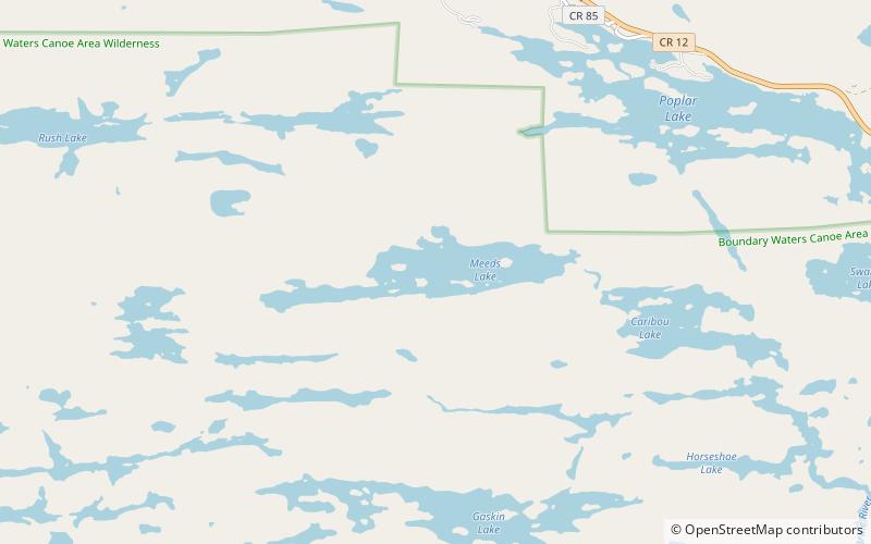
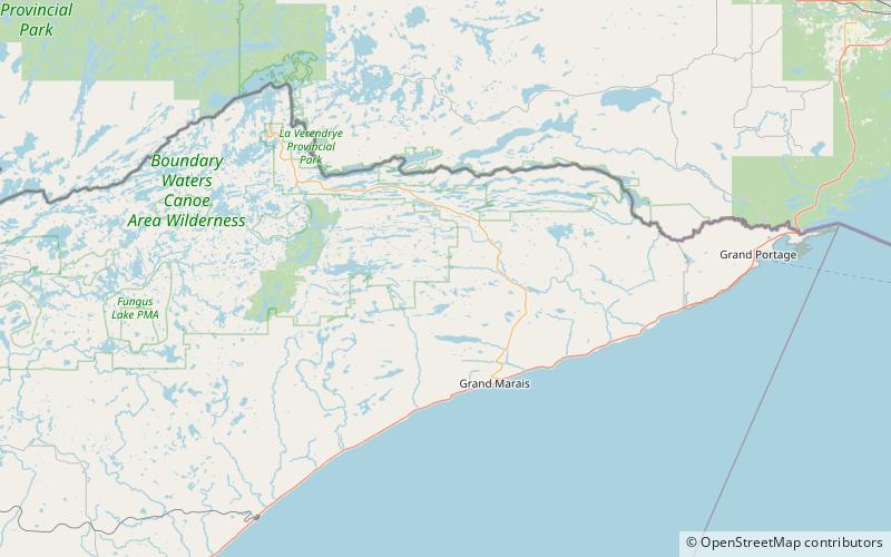
Boundary Waters Canoe Area Wilderness
ContactAdd
Social media
Add
Day trips