Lake Abita, Boundary Waters Canoe Area Wilderness

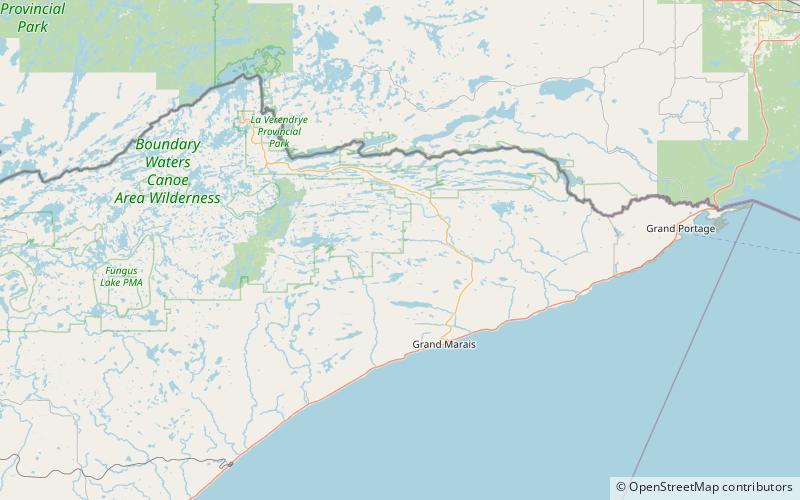
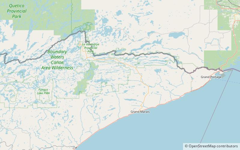
Map
Facts and practical information
Abita Lake is a lake in West Cook, Minnesota, which, at an elevation of 2,040.19 feet above sea level, is Minnesota's ninth highest named lake. Prior to modern surveys, the lake was once believed to be Minnesota's highest elevation lake. ()
Area: 103.78 acres (0.1622 mi²)Maximum depth: 14 ftElevation: 2051 ft a.s.l.Coordinates: 47°55'25"N, 90°27'18"W
Address
Boundary Waters Canoe Area Wilderness
ContactAdd
Social media
Add
Day trips
Lake Abita – popular in the area (distance from the attraction)
Nearby attractions include: Eagle Mountain, Whale Lake, Misquah Hills, Misquah Hills High Point.


