Misquah Hills, Boundary Waters Canoe Area Wilderness
Map
Gallery
Facts and practical information
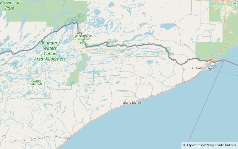
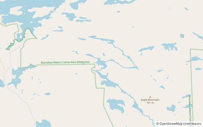
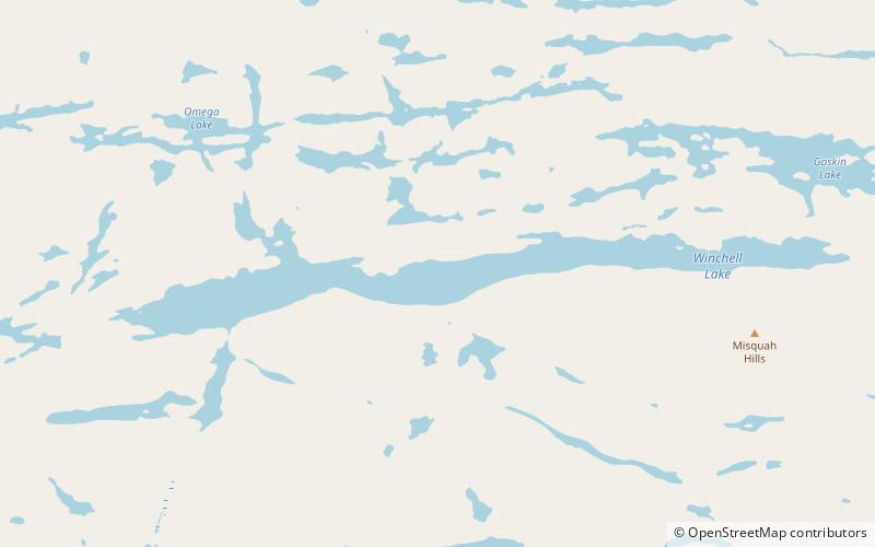
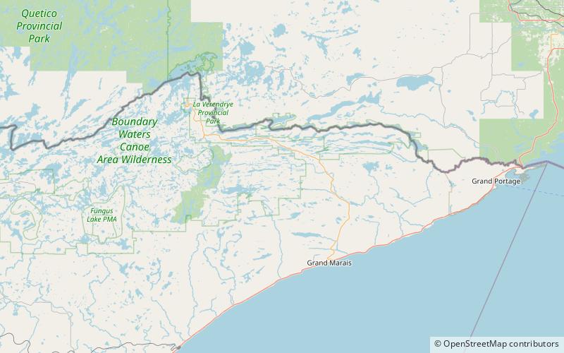
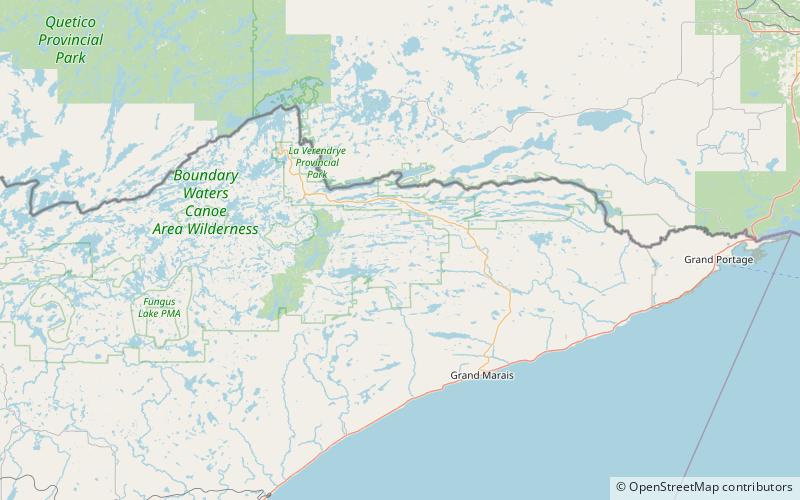
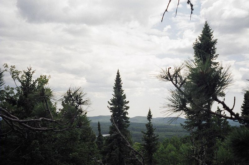
The Misquah Hills are a range of mountains in northeastern Minnesota, in the United States. They are located in or near the Boundary Waters Canoe Area Wilderness within Superior National Forest. Eagle Mountain, the highest point in Minnesota at 2,301 feet, is considered to be part of the Misquah Hills. ()
Maximum elevation: 2301 ftCoordinates: 47°58'48"N, 90°33'36"W
Address
Boundary Waters Canoe Area Wilderness
ContactAdd
Social media
Add
Day trips
Misquah Hills – popular in the area (distance from the attraction)
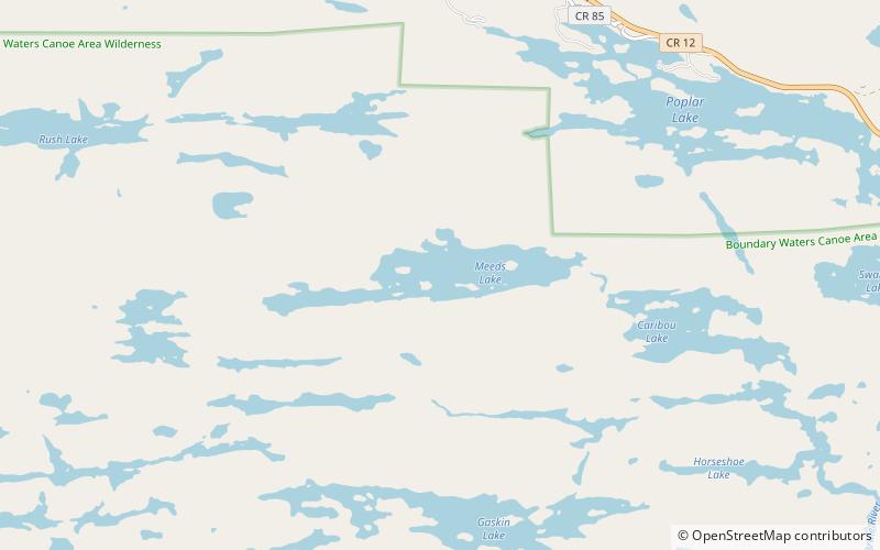
Nearby attractions include: Meeds Lake, Lake Abita, Crow Lake, Winchell Lake.

