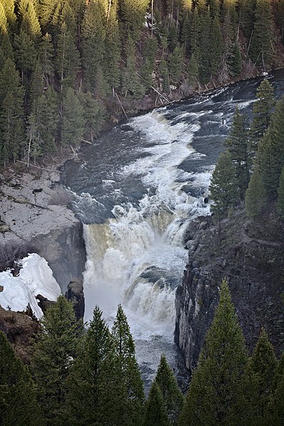
Lower Mesa Falls, Ashton

Gallery (3)
Map
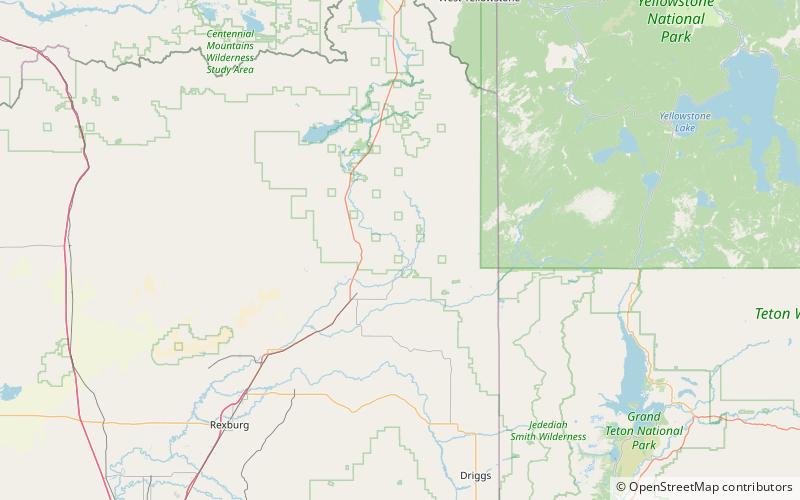
Map
Gallery
Facts and practical information
Lower Mesa Falls is a 65-foot waterfall on the Henrys Fork in Fremont County, Idaho. It is located in the Caribou-Targhee National Forest on the Mesa Falls Scenic Byway. It is downstream of Upper Mesa Falls. ()
Height: 65 ftCoordinates: 44°10'5"N, 111°19'12"W
Address
Ashton
ContactAdd
Social media
Add
Day trips
Lower Mesa Falls – popular in the area (distance from the attraction)
Nearby attractions include: Mesa Falls.
