Mesa Falls, Ashton

Gallery (6)
Map

Map

Gallery
Facts and practical information
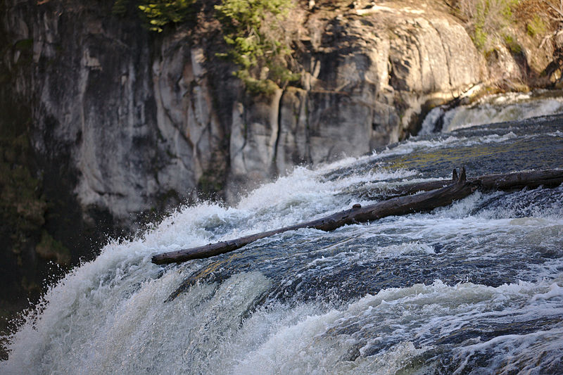
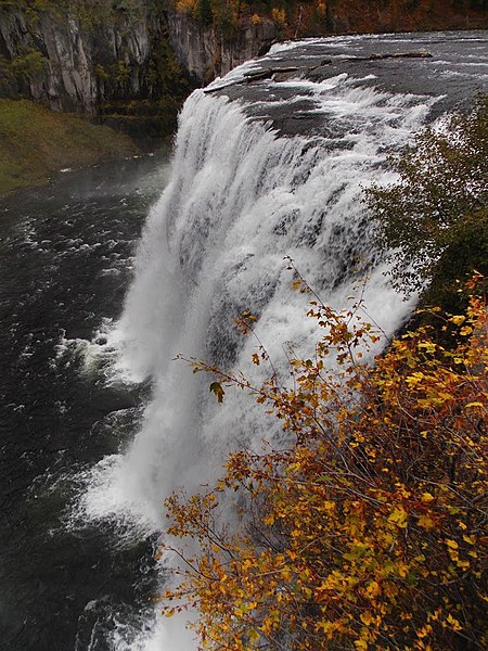
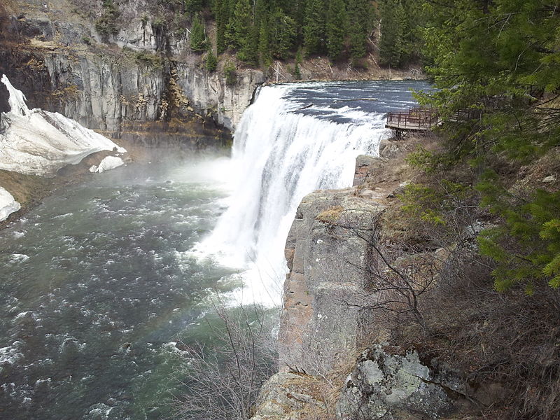
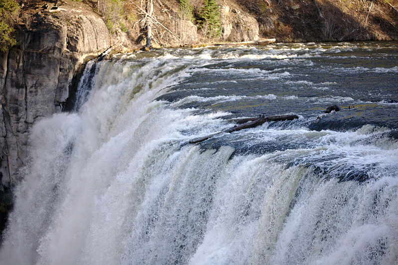
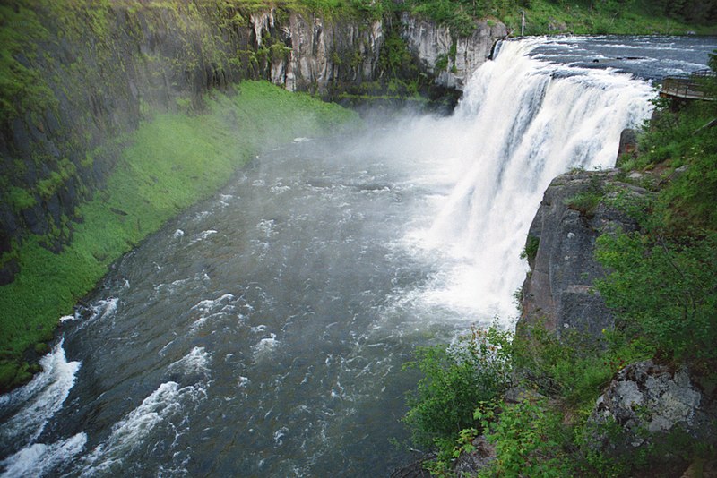
Upper Mesa Falls is a waterfall on the Henrys Fork in the Caribou-Targhee National Forest. Upstream from Lower Mesa Falls, it is roughly 16 miles away from Ashton, Idaho. ()
Height: 114 ftElevation: 5587 ft a.s.l.Coordinates: 44°11'16"N, 111°19'48"W
Day trips
Mesa Falls – popular in the area (distance from the attraction)
Nearby attractions include: Lower Mesa Falls.
