Balmy Alley, San Francisco
Gallery (5)
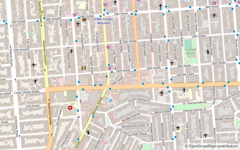
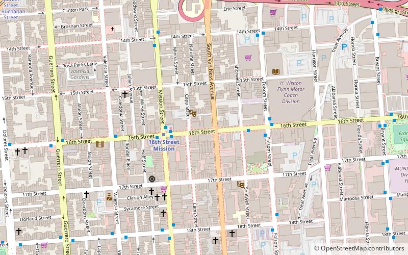
Map

Map

Gallery
Facts and practical information
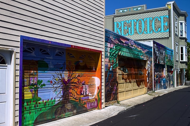
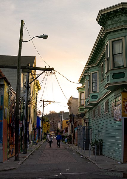
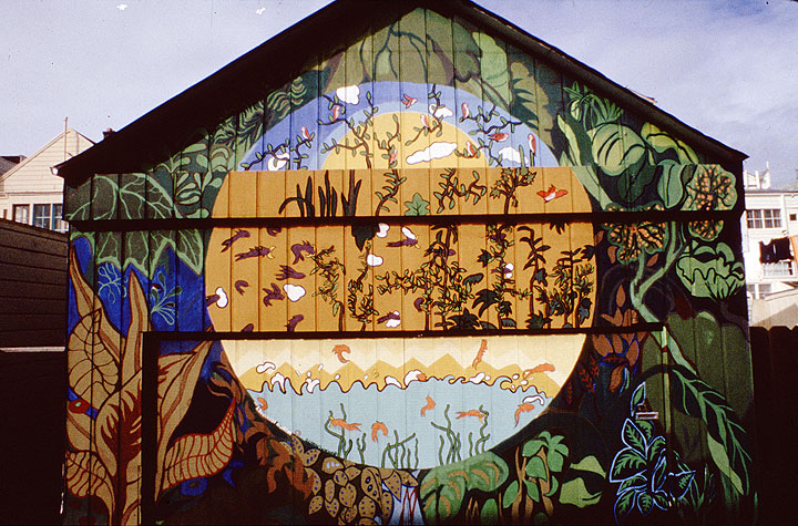
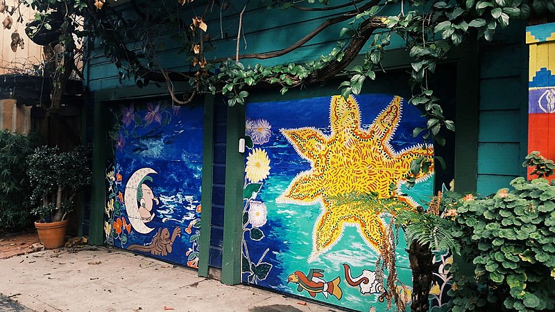
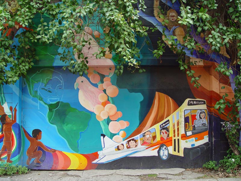
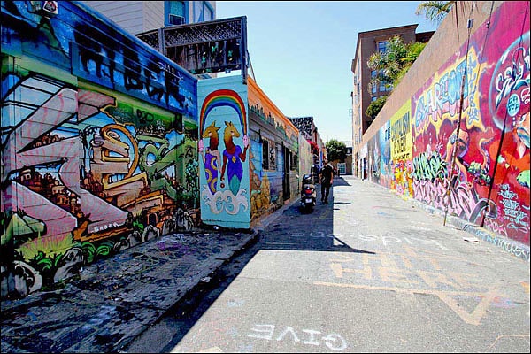
Balmy Alley is a one-block-long alley that is home to the most concentrated collection of murals in the city of San Francisco. It is located in the south central portion of the Inner Mission District between 24th Street and Garfield Square. Since 1973, most buildings on the street have been decorated with a mural. ()
Coordinates: 37°45'6"N, 122°24'43"W
Address
Off 24th StreetSoutheast San Francisco (Mission District)San Francisco 94110
Contact
Social media
Add
Getting there by public transportation
Public transportation stops near this location
- Metro
- Bus
- Trolleybus
- Tram
- Light rail
- Train
 Metro
Metro
- Calculate route24th Street & Harrison Street 2 min walk
- Calculate routeFolsom Street & 25th Street 4 min walk
- Calculate route24th Street & Folsom Street 4 min walk
- Calculate routeHampshire Street & 24th Street 7 min walk
- Calculate route25th Street & Potrero Avenue 8 min walk
- Calculate routePotrero Avenue & 24th Street 9 min walk
- Calculate routeMission Street & 24th Street 10 min walk
- Calculate route24th Street Mission 10 min walk
- Calculate route16th Street Mission 27 min walk
- Calculate routeChurch Street & 24th Street 22 min walk
- Calculate routeRight of Way & 21st Street 23 min walk
- Calculate route22nd Street 29 min walk
- Calculate routeMarket Street & Sanchez Street 37 min walk
Maps Muni Metro
Muni MetroDay trips


Frequently Asked Questions (FAQ)
When is Balmy Alley open?
Balmy Alley is open:
- Monday 24h
- Tuesday 24h
- Wednesday 24h
- Thursday 24h
- Friday 24h
- Saturday 24h
- Sunday 24h
Which popular attractions are close to Balmy Alley?
Nearby attractions include Garfield Square, San Francisco (3 min walk), Trinity Presbyterian Church, San Francisco (9 min walk), The Laundry SF, San Francisco (10 min walk), Hua Zang Si in San Francisco mei guo jiu jin shan hua cang si, San Francisco (10 min walk).
How to get to Balmy Alley by public transport?
The nearest stations to Balmy Alley:
Bus
Trolleybus
Metro
Light rail
Train
Tram
Bus
- 24th Street & Harrison Street • Lines: 48 (2 min walk)
- Folsom Street & 25th Street • Lines: 67 (4 min walk)
Trolleybus
- Hampshire Street & 24th Street • Lines: 33 (7 min walk)
- 25th Street & Potrero Avenue • Lines: 33 (8 min walk)
Metro
- 24th Street Mission • Lines: Blue, Green, Red, Yellow (10 min walk)
- 16th Street Mission • Lines: Blue, Green, Red, Yellow (27 min walk)
Light rail
- Church Street & 24th Street • Lines: J (22 min walk)
- Right of Way & 21st Street • Lines: J (23 min walk)
Train
- 22nd Street (29 min walk)
Tram
- Market Street & Sanchez Street • Lines: F (37 min walk)