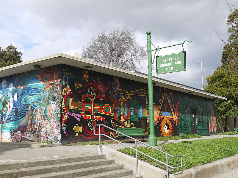
Garfield Square, San Francisco

Gallery (3)
Map
Map
Gallery
Facts and practical information
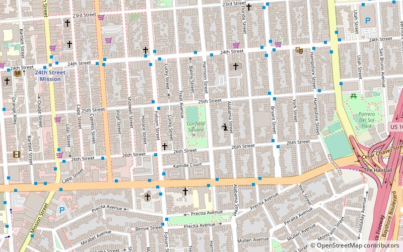
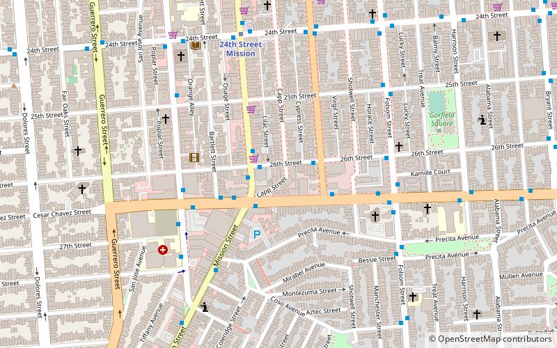
Garfield Square, also known as Garfield Park, is a 3.46-acre city park located in the Mission District of San Francisco, California. It is bounded by 25th Street to the north, 26th Street to the south, Treat Avenue to the west, and Harrison Street to the east and was first opened in 1884. Previously the location of the Recreation Grounds baseball park which was the first professional baseball park in California, dating to 1868. ()
Elevation: 52 ft a.s.l.Coordinates: 37°45'1"N, 122°24'43"W
Address
Garfield SquareSoutheast San Francisco (Mission District)San Francisco 94110
ContactAdd
Social media
Add
Getting there by public transportation
Public transportation stops near this location
- Metro
- Bus
- Trolleybus
- Tram
- Light rail
- Train
 Metro
Metro
- Calculate routeFolsom Street & 25th Street 3 min walk
- Calculate routeCesar Chavez Street & Harrison Street 4 min walk
- Calculate route24th Street & Harrison Street 5 min walk
- Calculate route25th Street & Potrero Avenue 8 min walk
- Calculate routeHampshire Street & 24th Street 9 min walk
- Calculate routeMission Street & 26th Street 9 min walk
- Calculate routePotrero Avenue & 24th Street 10 min walk
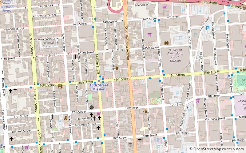
- Calculate route24th Street Mission 10 min walk
- Calculate route16th Street Mission 29 min walk
- Calculate routeGlen Park 43 min walk
- Calculate routeChurch Street & Clipper Street 22 min walk
- Calculate route30th Street & Dolores Street 23 min walk
- Calculate route22nd Street 30 min walk
- Calculate routeMarket Street & Sanchez Street 39 min walk
Maps Muni Metro
Muni MetroDay trips


Frequently Asked Questions (FAQ)
Which popular attractions are close to Garfield Square?
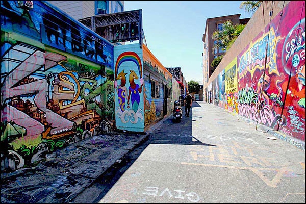
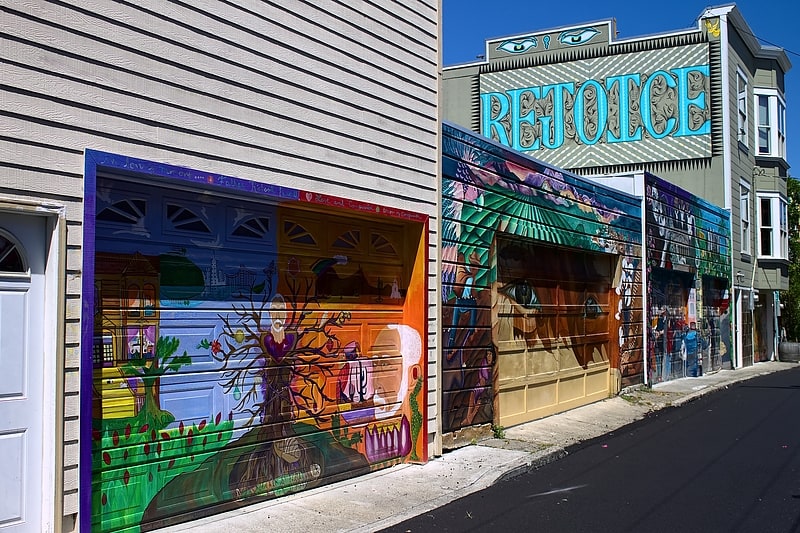
Nearby attractions include Balmy Alley, San Francisco (3 min walk), The Laundry SF, San Francisco (8 min walk), The Farm, San Francisco (10 min walk), Trinity Presbyterian Church, San Francisco (11 min walk).
How to get to Garfield Square by public transport?
The nearest stations to Garfield Square:
Bus
Trolleybus
Metro
Light rail
Train
Tram
Bus
- Folsom Street & 25th Street • Lines: 67 (3 min walk)
- Cesar Chavez Street & Harrison Street • Lines: 27 (4 min walk)
Trolleybus
- 25th Street & Potrero Avenue • Lines: 33 (8 min walk)
- Hampshire Street & 24th Street • Lines: 33 (9 min walk)
Metro
- 24th Street Mission • Lines: Blue, Green, Red, Yellow (10 min walk)
- 16th Street Mission • Lines: Blue, Green, Red, Yellow (29 min walk)
Light rail
- Church Street & Clipper Street • Lines: J (22 min walk)
- 30th Street & Dolores Street • Lines: J (23 min walk)
Train
- 22nd Street (30 min walk)
Tram
- Market Street & Sanchez Street • Lines: F (39 min walk)