Maury Street Marker, Richmond

Gallery (1)
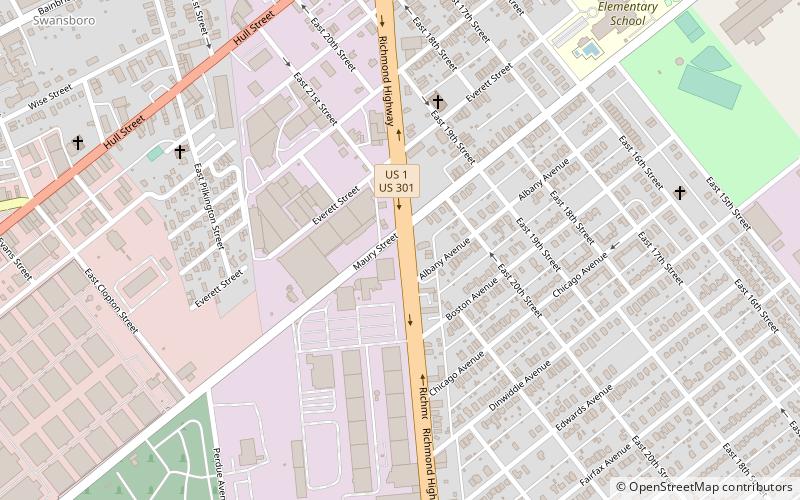
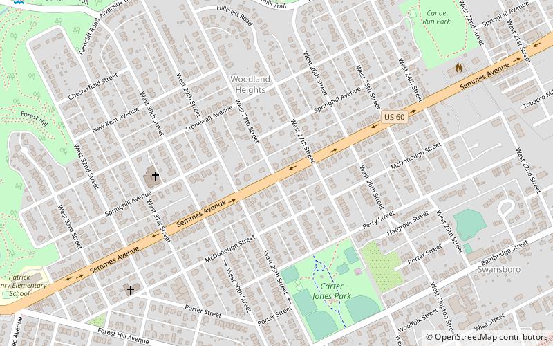
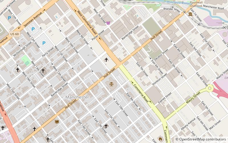
Map
Map
Facts and practical information
Maury Street Marker, Jefferson Davis Highway is a historic route marker located on U.S. Route 1, or Jefferson Davis Highway, in Richmond, Virginia. It was erected in 1935, by the United Daughters of the Confederacy. It is one of 16 erected in Virginia along the Jefferson Davis Highway between 1927 and 1947. The marker is an inscribed granite slab with smooth flat faces and rough-cut edges. It measures 45 inches tall, 25 inches wide and 9 inches thick. The stone is engraved with the text "Jefferson Davis Highway Erected by Elliott Grays Chapter United Daughters of the Confederacy 1935". ()
Built: 1935 (91 years ago)Coordinates: 37°30'45"N, 77°26'53"W
Address
South Richmond (Maury)Richmond
ContactAdd
Social media
Add
Getting there by public transportation
Public transportation stops near this location
- Bus
 Bus
Bus
- Calculate routeBroad Rock & 33rd 26 min walk
- Calculate routeBroad Rock + 36th 31 min walk
- Calculate routeBroad Rock Blvd. at McGuire St. 35 min walk
Day trips


Frequently Asked Questions (FAQ)
Which popular attractions are close to Maury Street Marker?
Nearby attractions include Elliott Grays Marker-Jefferson Davis Highway, Richmond (17 min walk), Church of the Sacred Heart, Richmond (18 min walk), South Richmond, Richmond (20 min walk), Springhill Historic District, Richmond (23 min walk).
How to get to Maury Street Marker by public transport?
The nearest stations to Maury Street Marker:
Bus
Bus
- Broad Rock & 33rd • Lines: 87 (26 min walk)
- Broad Rock + 36th • Lines: 2C, 87 (31 min walk)