Elliott Grays Marker-Jefferson Davis Highway, Richmond

Gallery (1)
Map
Map
Facts and practical information
Elliott Grays Marker-Jefferson Davis Highway is a historic route marker located on U.S. Route 1, or Jefferson Davis Highway, in Richmond, Virginia. It was erected in 1929, by the United Daughters of the Confederacy. It is one of 16 erected in Virginia along the Jefferson Davis Highway between 1927 and 1947. The marker is an inscribed granite slab with smooth flat faces and rough-cut edges. It measures 47 inches tall, 25 inches wide and 12 inches thick. The stone is engraved with the text "Jefferson Davis Highway This tree marks the site of Battery 17 of the inner defenses of Richmond, 1862-65, and is planted in soil taken from battlefields A memorial to Confederate Soldiers by the Elliott Grays Chapter U.D.C. 1929." ()
Built: 1929 (97 years ago)Coordinates: 37°30'12"N, 77°26'48"W
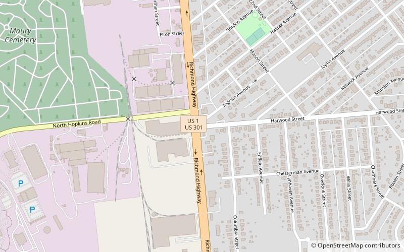
Address
Oak GroveRichmond
ContactAdd
Social media
Add
Getting there by public transportation
Public transportation stops near this location
- Bus
 Bus
Bus
- Calculate routeBroad Rock & 33rd 25 min walk
- Calculate routeBroad Rock + 36th 28 min walk
Day trips


Frequently Asked Questions (FAQ)
How to get to Elliott Grays Marker-Jefferson Davis Highway by public transport?
The nearest stations to Elliott Grays Marker-Jefferson Davis Highway:
Bus
Bus
- Broad Rock & 33rd • Lines: 87 (25 min walk)
- Broad Rock + 36th • Lines: 2C, 87 (28 min walk)