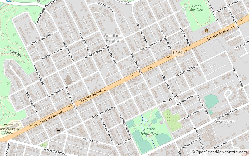
Woodland Heights, Richmond
Map
Facts and practical information
Woodland Heights, VA is a neighborhood in the city of Richmond, Virginia. It began as a trolleycar neighborhood in the early 1900s and was built up along the James River beside Forest Hill Park. Woodland Heights is listed on the National Register of Historic Places and the Virginia Landmarks Registry. ()
Coordinates: 37°31'8"N, 77°27'44"W
Address
Westover Hills - Forest Hill Park (Woodland Heights)Richmond
ContactAdd
Social media
Add
Getting there by public transportation
Public transportation stops near this location
- Bus
 Bus
Bus
- Calculate routeBroad Rock & 33rd 25 min walk
- Calculate routePennsylvania + Carter 29 min walk
- Calculate routeBroad Rock + 36th 30 min walk
Day trips


Frequently Asked Questions (FAQ)
Which popular attractions are close to Woodland Heights?
Nearby attractions include Springhill Historic District, Richmond (14 min walk), Forest Hill Park, Richmond (16 min walk), Forest Hill, Richmond (18 min walk), Church of the Sacred Heart, Richmond (20 min walk).
How to get to Woodland Heights by public transport?
The nearest stations to Woodland Heights:
Bus
Bus
- Broad Rock & 33rd • Lines: 87 (25 min walk)
- Pennsylvania + Carter • Lines: 78 (29 min walk)