Brownsville – Veterans Port of Entry, Brownsville
Map

Map

Facts and practical information
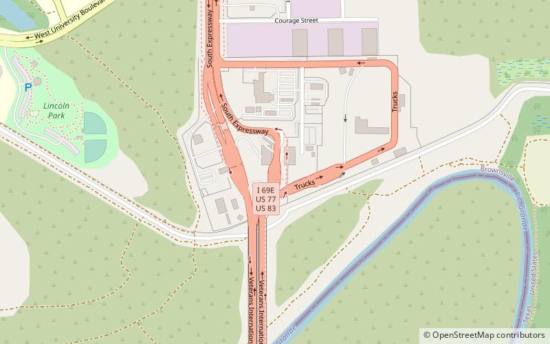
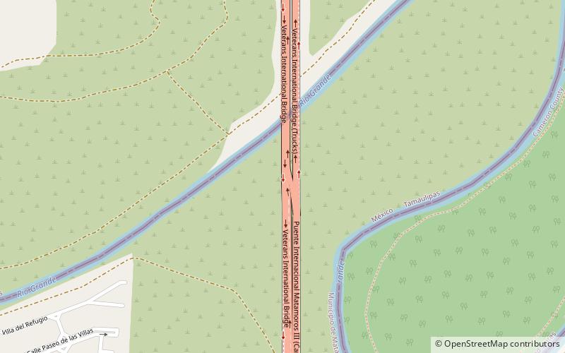
The Brownsville Veterans Port of Entry opened in 1999 with the completion of the Veterans International Bridge at Los Tomates. The bridge was built primarily to divert commercial freight traffic away from the busy downtown bridges, but about a third of the passenger vehicles also cross at this point. The Veterans Port of Entry is the easternmost US-Mexico border crossing, and is by far the newest of the three crossings between Brownsville and Matamoros. ()
Opened: 1999 (27 years ago)Coordinates: 25°53'20"N, 97°28'33"W
Day trips
Brownsville – Veterans Port of Entry – popular in the area (distance from the attraction)
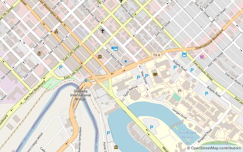
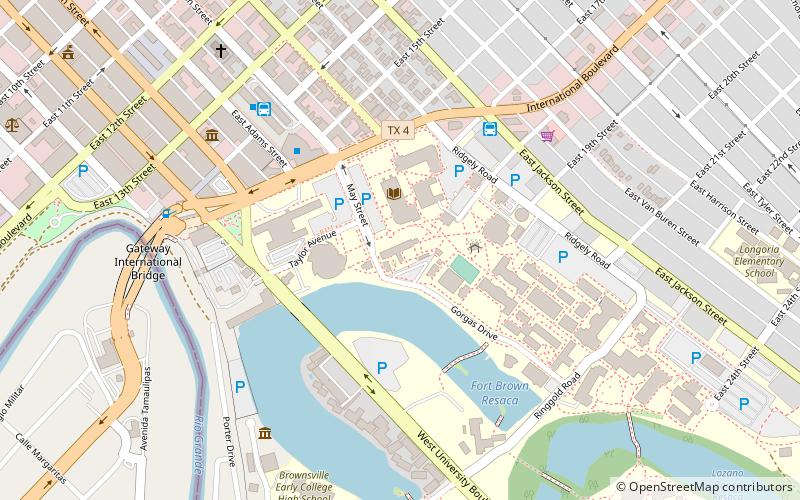
Nearby attractions include: Veterans International Bridge at Los Tomates, Fort Brown, Rusteberg Art Gallery, Texas Southmost College.
Frequently Asked Questions (FAQ)
How to get to Brownsville – Veterans Port of Entry by public transport?
The nearest stations to Brownsville – Veterans Port of Entry:
Bus
Bus
- Autobuses Adame Tours (32 min walk)


