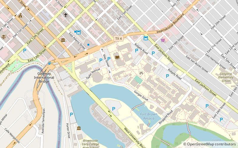
Fort Brown, Brownsville
Map
Facts and practical information
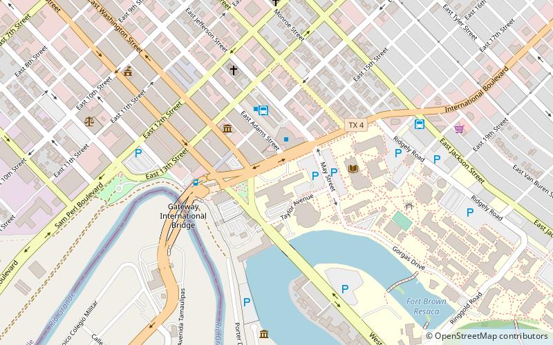
Fort Brown was a military post of the United States Army in Cameron County, Texas during the later half of the 19th century and the early part of the 20th century. Established in 1846, it was the first United States Army military outpost of the recently annexed state. Confederate Army troops stationed there saw action during the American Civil War. In the early 20th century, it was garrisoned in relation to military activity over border conflicts with Mexico. Surviving elements of the fort were designated as a National Historic Landmark in 1960. ()
Address
600 International BlvdBrownsville
ContactAdd
Social media
Add
Getting there by public transportation
Public transportation stops near this location
- Bus
 Bus
Bus
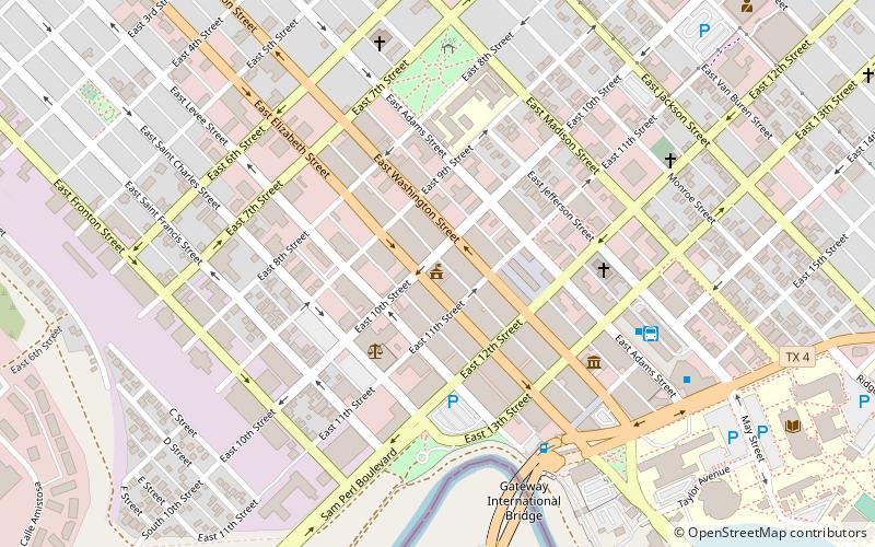
- Calculate routeBrownsville Bus Terminal 3 min walk
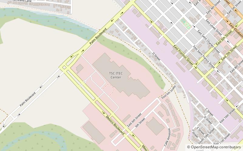
- Calculate routeAutobuses Adame Tours 8 min walk
Day trips
Fort Brown – popular in the area (distance from the attraction)
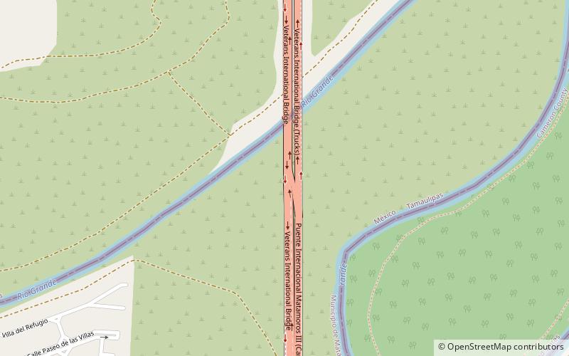
Nearby attractions include: Gladys Porter Zoo, Gateway International Bridge, Immaculate Conception Cathedral, Veterans International Bridge at Los Tomates.


Frequently Asked Questions (FAQ)
Which popular attractions are close to Fort Brown?
Nearby attractions include Texas Southmost College, Brownsville (5 min walk), Gateway International Bridge, Brownsville (5 min walk), Immaculate Conception Cathedral, Brownsville (6 min walk), United States Court House, Brownsville (9 min walk).
How to get to Fort Brown by public transport?
The nearest stations to Fort Brown:
Bus
Bus
- Brownsville Bus Terminal (3 min walk)
- Autobuses Adame Tours (8 min walk)