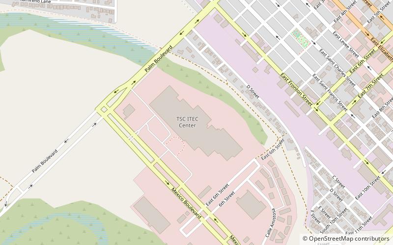
Texas Southmost College, Brownsville
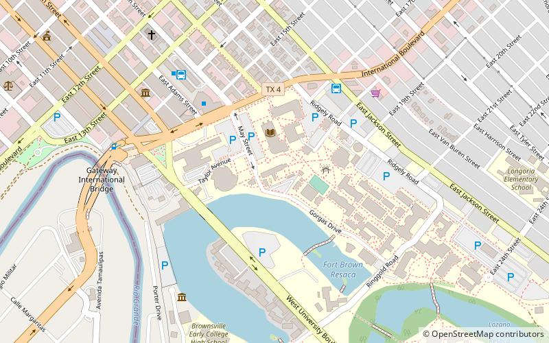
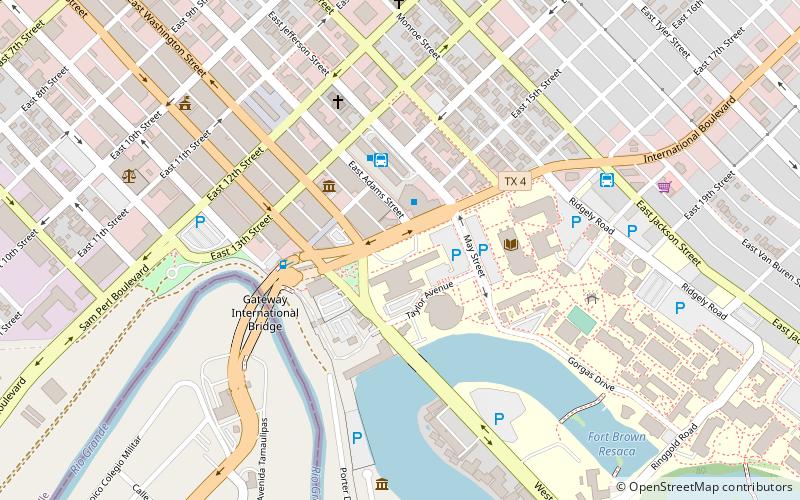
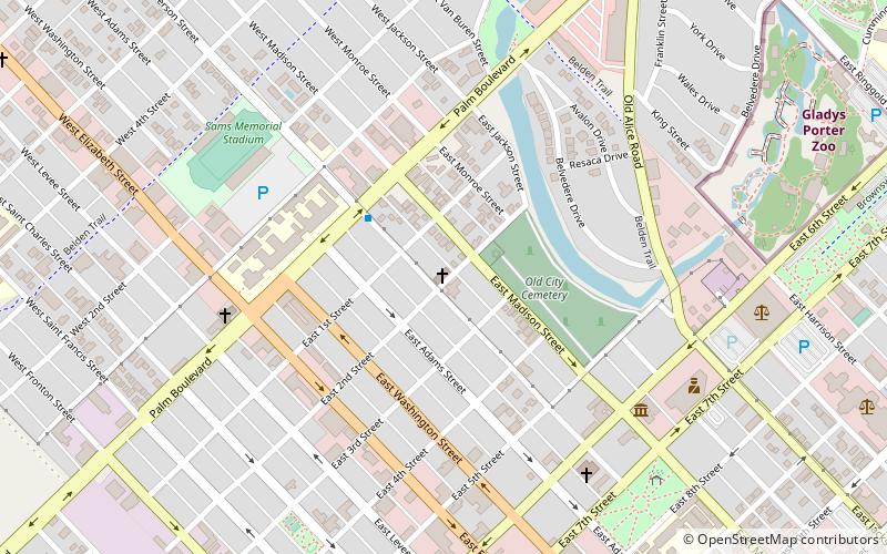
Map
Facts and practical information
Texas Southmost College is a public junior college located in Brownsville, Texas. ()
Established: 1926 (100 years ago)Coordinates: 25°53'55"N, 97°29'32"W
Getting there by public transportation
Public transportation stops near this location
- Bus
 Bus
Bus
- Calculate routeAutobuses Adame Tours 6 min walk
- Calculate routeBrownsville Bus Terminal 7 min walk
Day trips
Texas Southmost College – popular in the area (distance from the attraction)
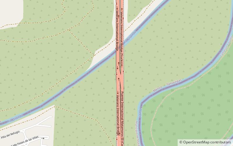
Nearby attractions include: Gladys Porter Zoo, Gateway International Bridge, Immaculate Conception Cathedral, Veterans International Bridge at Los Tomates.


Frequently Asked Questions (FAQ)
Which popular attractions are close to Texas Southmost College?
Nearby attractions include Fort Brown, Brownsville (5 min walk), Rusteberg Art Gallery, Brownsville (6 min walk), Gateway International Bridge, Brownsville (9 min walk), Immaculate Conception Cathedral, Brownsville (10 min walk).
How to get to Texas Southmost College by public transport?
The nearest stations to Texas Southmost College:
Bus
Bus
- Autobuses Adame Tours (6 min walk)
- Brownsville Bus Terminal (7 min walk)