Mount Chauvenet, Popo Agie Wilderness
Map
Facts and practical information
Mount Chauvenet is a mountain located in the southern Wind River Range in the U.S. state of Wyoming. Mount Chauvenet is 1.5 mi northeast of Cathedral Peak in the Popo Agie Wilderness of Shoshone National Forest. Mount Chauvenet was one of the earliest peaks climbed by white explorers to the Wind River Range. ()
First ascent: 1832Elevation: 12255 ftProminence: 730 ftCoordinates: 42°50'27"N, 109°9'29"W
Address
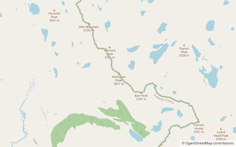
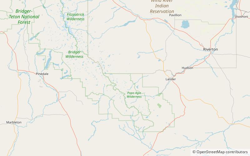
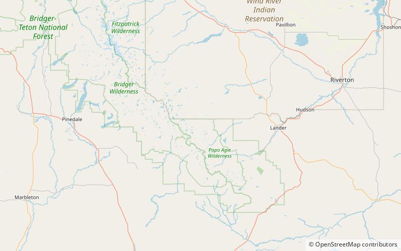
Popo Agie Wilderness
ContactAdd
Social media
Add
Day trips