Cathedral Peak, Popo Agie Wilderness
#5 among attractions in Popo Agie Wilderness
![Cathedral Peak location map](https://tzmedia.b-cdn.net/media/images/static-maps/us/42_8252_-109_179.jpg)
Facts and practical information
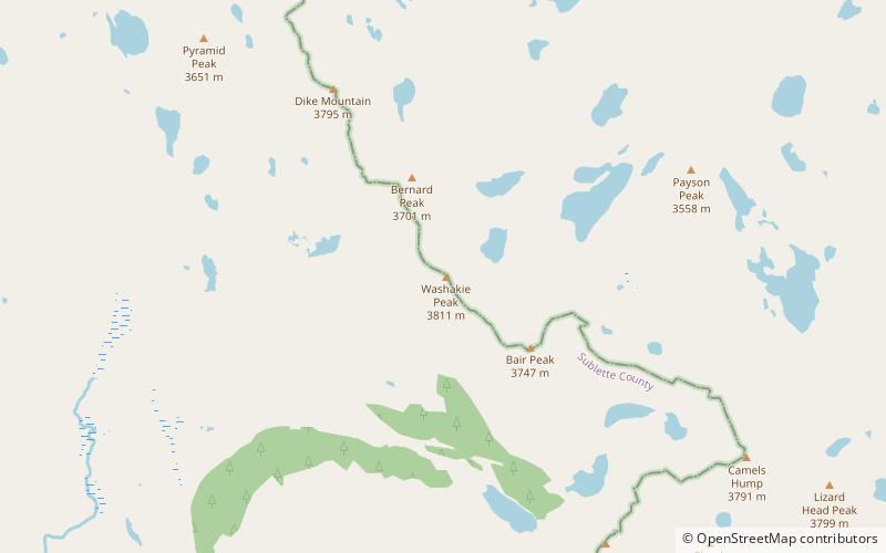
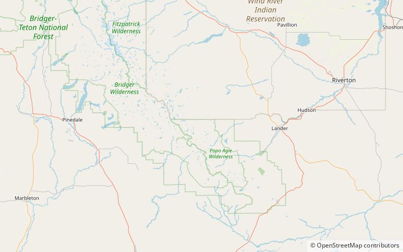
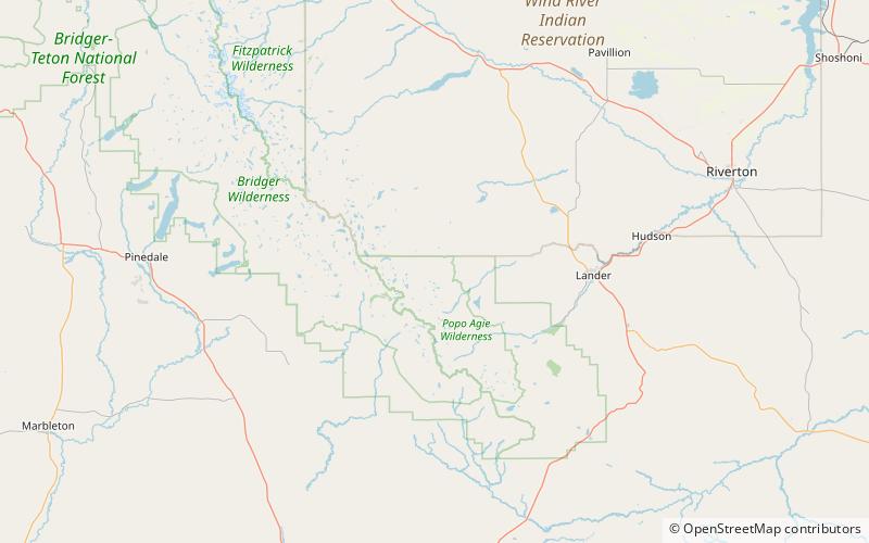
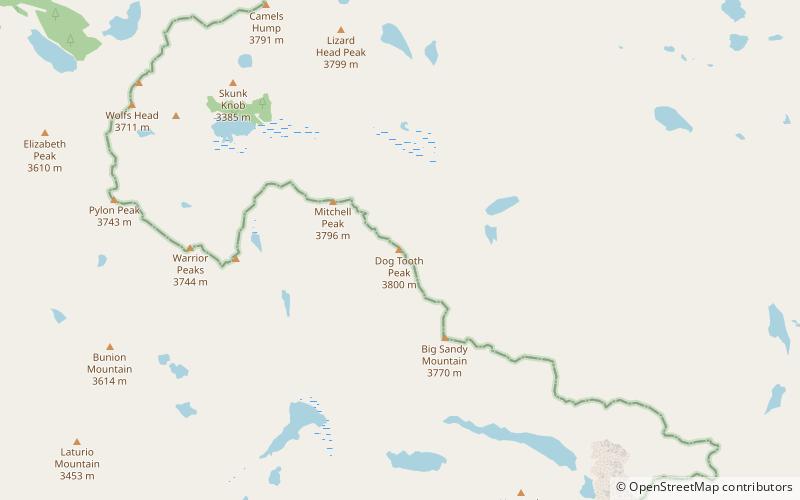
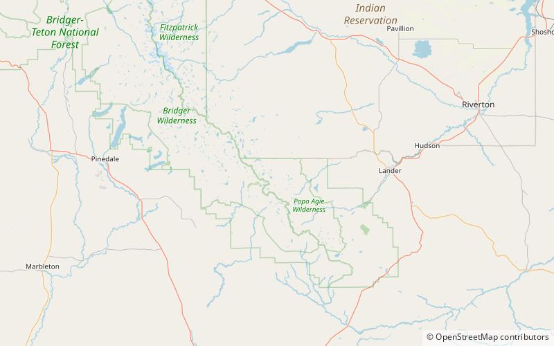
Cathedral Peak is a mountain located in the southern Wind River Range in the U.S. state of Wyoming. Cathedral Peak is 1.5 mi southwest of Mount Chauvenet in the Popo Agie Wilderness of Shoshone National Forest. ()
Popo Agie Wilderness United States
Popo Agie Wilderness plan & book
Unleash the traveler in you — discover the cheapest flight deals, find the perfect hotel or hostel nearby, and search for the best car rental prices. Travel at your own pace to discover new places and enjoy your journey.
Cathedral Peak – popular in the area (distance from the attraction)
Nearby attractions include: Pingora Peak, Wolfs Head, Mount Washakie, Mitchell Peak.
3.9 miSWNatural attraction, MountainPingora Peak, Popo Agie Wilderness
101 min walk • Pingora Peak is prominent granite peak in the U.S. state of Wyoming. The peak is one of the pinnacles that forms the Cirque of the Towers.
4.1 miSWNatural attraction, MountainWolfs Head, Popo Agie Wilderness
106 min walk • Wolfs Head is a mountain located in the southern Wind River Range in the U.S. state of Wyoming. Wolfs Head is on the northwest side of the Cirque of the Towers, a popular climbing area.
4 miWNatural attraction, MountainMount Washakie, Bridger Wilderness
103 min walk • Mount Washakie is located in the Wind River Range in the U.S. state of Wyoming. The mountain is on the Continental Divide in the Bridger Wilderness of Bridger-Teton National Forest and Popo Agie Wilderness of Shoshone National Forest.
4 miSNatural attraction, MountainMitchell Peak, Bridger Wilderness
104 min walk • Mitchell Peak is located in the southern Wind River Range in the U.S. state of Wyoming. Mitchell Peak is on the southern side of the Cirque of the Towers, a popular climbing area.
2.6 miSNatural attraction, MountainLizard Head Peak, Popo Agie Wilderness
67 min walk • Lizard Head Peak is in the southern Wind River Range in the U.S. state of Wyoming. Situated in Shoshone National Forest, Lizard Head Peak is the northeasternmost peak in the Cirque of the Towers, a popular climbing area.
3.8 miSWClimbingNortheast Face, Popo Agie Wilderness
96 min walk • The Northeast Face of Pingora is a technical rock climbing route on Pingora Peak part of the Cirque of the Towers in the Popo Agie Wilderness part of the Shoshone National Forest. The route is featured in Fifty Classic Climbs of North America.
4.5 miSWNatural attraction, MountainSharks Nose, Bridger Wilderness
114 min walk • Sharks Nose is a mountain located in the southern Wind River Range in the U.S. state of Wyoming. Sharks Nose is on the west side of the Cirque of the Towers, a popular climbing area.
1.5 miNENatural attraction, MountainMount Chauvenet, Popo Agie Wilderness
39 min walk • Mount Chauvenet is a mountain located in the southern Wind River Range in the U.S. state of Wyoming. Mount Chauvenet is 1.5 mi northeast of Cathedral Peak in the Popo Agie Wilderness of Shoshone National Forest.
2.5 miENatural attraction, MountainBears Ears Mountain, Popo Agie Wilderness
64 min walk • Bears Ears Mountain is a mountain located in the southern Wind River Range in the U.S. state of Wyoming. Bears Ears Mountain is 1.32 mi east of Mount Chauvenet and consists of two peaks which from a distance resemble the ears on a bear.
3.5 miSWNatural attraction, MountainBair Peak, Popo Agie Wilderness
90 min walk • Bair Peak is located in the Wind River Range in the U.S. state of Wyoming. The mountain is on the Continental Divide in the Bridger Wilderness of Bridger-Teton National Forest and Popo Agie Wilderness of Shoshone National Forest.
4.4 miSNatural attraction, MountainDog Tooth Peak, Bridger Wilderness
112 min walk • Dog Tooth Peak is located in the southern Wind River Range in the U.S. state of Wyoming. Dog Tooth Peak sits along the Continental Divide, less than 1 mi northwest of Big Sandy Mountain.