Trek Zone

Dog Tooth Peak, Bridger Wilderness

#27 among attractions in Bridger Wilderness

Natural attraction, Mountain
Dog Tooth Peak location map
Map

Facts and practical information
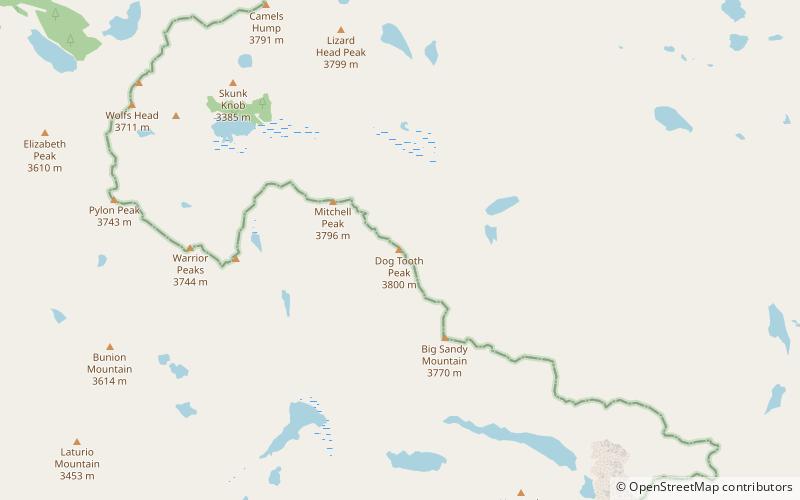
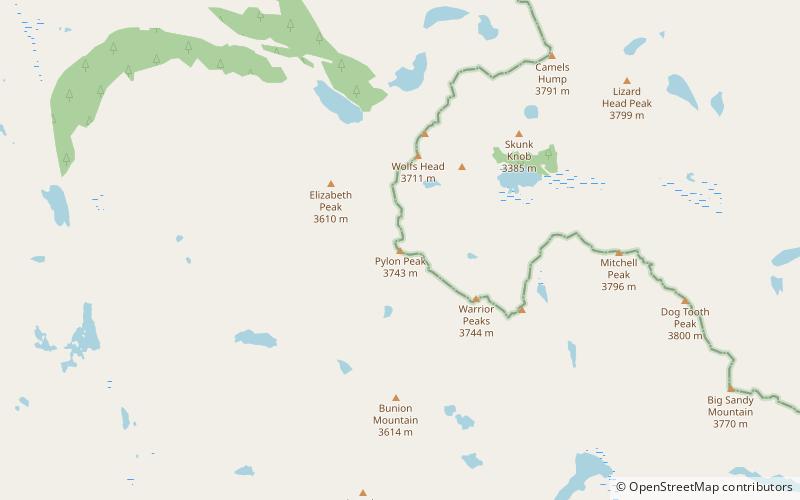
Elevation: 12488 ftCoordinates: 42°45'44"N, 109°11'13"W
Address

Bridger Wilderness United States

ContactAdd
Social media
Add
Day trips

Dog Tooth Peak – popular in the area (distance from the attraction)

Nearby attractions include: Pingora Peak, Wolfs Head, War Bonnet Peak, Pylon Peak.

  • pingora peak popo agie wilderness2.3 miNW
  • wolfs head popo agie wilderness2.7 miNW
  • war bonnet peak bridger wilderness1.4 miW
  • pylon peak popo agie wilderness location map
    2.5 miW
  • mitchell peak bridger wilderness0.7 miNW
  • east temple peak bridger wilderness3.9 miSE
  • cathedral peak popo agie wilderness4.4 miN
  • warrior peaks popo agie wilderness1.8 miW
  • lizard head peak popo agie wilderness2 miN
  • northeast face popo agie wilderness1.7 miNW
  • sharks nose bridger wilderness2.7 miW

Frequently Asked Questions (FAQ)

Which popular attractions are close to Dog Tooth Peak?

Nearby attractions include Mitchell Peak, Bridger Wilderness (18 min walk), Big Sandy Mountain, Popo Agie Wilderness (23 min walk).

Where to next? Visit wyoming Wyoming region page or discover the top tourist attractions in United States.