American Canal, El Paso
Map
Facts and practical information
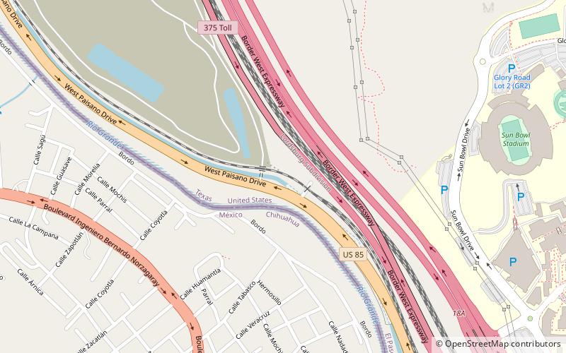
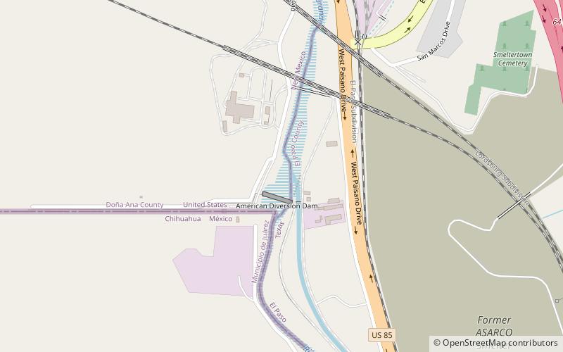
The American Canal is an irrigation canal in the Upper Rio Grande Valley near El Paso, Texas. The canal acquires water from the Rio Grande from the American Diversion Dam at the Texas–New Mexico–Mexico border, 2 miles northwest of downtown El Paso. The canal supplies the majority of the raw water to El Paso’s Johnathan-Roger Water Treatment Plant. It also mitigates flooding in south El Paso neighborhoods. The canal travels along the Rio Grande for 2.1 miles where it flows into the Franklin Canal and the rest of the canal network. Construction of the canal dates back to 1938. ()
Coordinates: 31°46'21"N, 106°30'54"W
Address
Westside El PasoEl Paso
ContactAdd
Social media
Add
Getting there by public transportation
Public transportation stops near this location
- Bus
- Tram
- Train
 Bus
Bus
- Calculate routeGlory Road Transit Center 18 min walk
- Calculate routeBoston 20 min walk
- Calculate routeBaltimore 20 min walk
- Calculate routeUniversity 21 min walk
- Calculate routeBay E 18 min walk
- Calculate routeGlory Road Transit Center 18 min walk
- Calculate routeBay D 19 min walk
- Calculate routeHague 25 min walk
- Calculate routeEl Paso 39 min walk
Day trips


Frequently Asked Questions (FAQ)
Which popular attractions are close to American Canal?
Nearby attractions include Sun Bowl Stadium, El Paso (11 min walk), Stanlee and Gerald Rubin Center for the Visual Arts, El Paso (13 min walk), University of Texas at El Paso, El Paso (14 min walk), Centennial Museum and Chihuahuan Desert Gardens, El Paso (15 min walk).
How to get to American Canal by public transport?
The nearest stations to American Canal:
Tram
Bus
Train
Tram
- Glory Road Transit Center • Lines: El Paso Streetcar (18 min walk)
- Boston • Lines: El Paso Streetcar (20 min walk)
Bus
- Bay E • Lines: 10, 14, 15, 70, Mesa Brio (18 min walk)
- Glory Road Transit Center (18 min walk)
Train
- El Paso (39 min walk)